Katchewanooka Lake
Map

Map

Facts and practical information
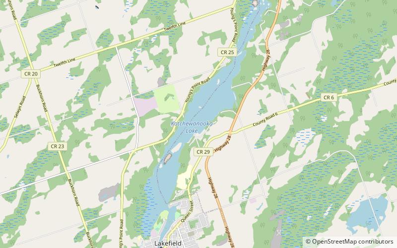
Katchewanooka Lake is one of the Kawartha lakes in south-central Ontario, Canada. It is about 5 miles long and.5 miles wide. The Trent Severn Waterway flows through Lake Katchewanooka into the Otonabee River at its outlet just north of Lakefield, continuing southwest through Little Lake in Peterborough and on into Rice Lake. Lakefield College School lies on the east side of the lake. ()
Length: 5 miWidth: 2640 ftMaximum depth: 50 ftElevation: 764 ft a.s.l.Coordinates: 44°27'10"N, 78°15'42"W
Location
Ontario
ContactAdd
Social media
Add
Day trips
Katchewanooka Lake – popular in the area (distance from the attraction)
Nearby attractions include: Haliburton—Kawartha Lakes—Brock.

