Trout Lake
Map

Map

Facts and practical information
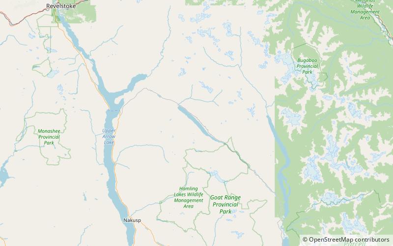
Trout Lake is a ribbon lake in the West Kootenay region of southeastern British Columbia. Between the Selkirk Mountains to the west and the Purcell Mountains to the east, the lake is about 23 kilometres long and 1.6 kilometres wide. Lardeau Creek flows into the northern end and Lardeau River flows from the southern end. BC Highway 31 skirts the northeast shore. The northern end is about 90 kilometres by road and ferry southeast of Revelstoke. ()
Elevation: 2365 ft a.s.l.Coordinates: 50°35'6"N, 117°26'13"W
Location
British Columbia
ContactAdd
Social media
Add
