Incline Railway, Niagara Falls
Map

Map

Facts and practical information
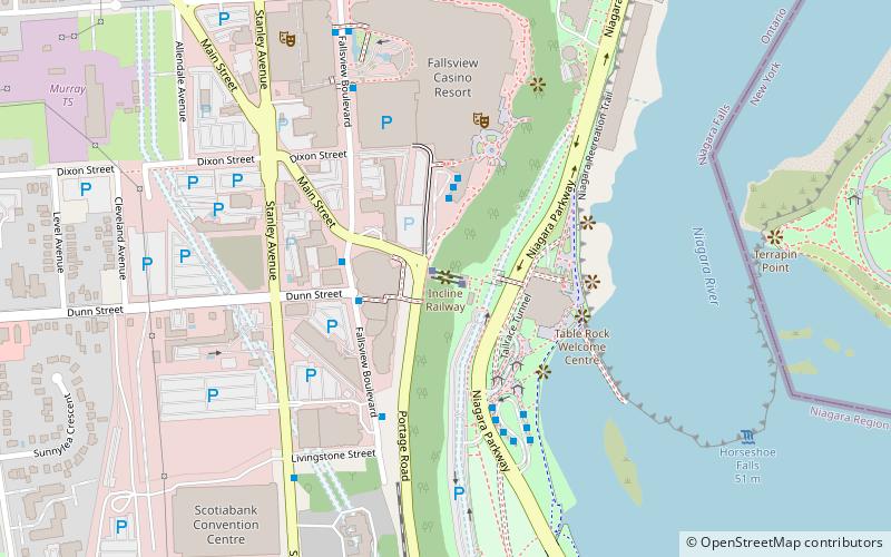
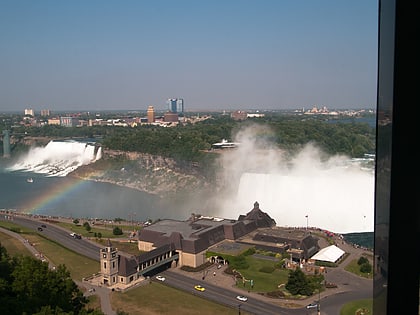
The Falls Incline Railway, originally known as the Horseshoe Falls Incline is a type of funicular railway in the city of Niagara Falls, Ontario, Canada. It is located beside Niagara Falls at the Horseshoe Falls. The line was built in 1966 for the Niagara Parks Commission by the Swiss company Von Roll. It adopted its current name in the 1980s. Originally built with open-air cars, it was rebuilt in 2013 with enclosed cars to permit year-round operation. ()
Coordinates: 43°4'46"N, 79°4'51"W
Day trips
Incline Railway – popular in the area (distance from the attraction)
Nearby attractions include: Horseshoe Falls, Skylon Tower, Journey Behind the Falls, Clifton Hill.
Frequently Asked Questions (FAQ)
Which popular attractions are close to Incline Railway?
Nearby attractions include Tower Hotel, Niagara Falls (2 min walk), Queen Victoria Park, Niagara Falls (3 min walk), Table Rock Welcome Centre, Niagara Falls (3 min walk), Journey Behind the Falls, Niagara Falls (4 min walk).
How to get to Incline Railway by public transport?
The nearest stations to Incline Railway:
Bus
Bus
- Fallsview Casino (3 min walk)
- WEGO - Table Rock Centre Sration (3 min walk)


