Villeray–Saint-Michel–Parc-Extension, Montreal
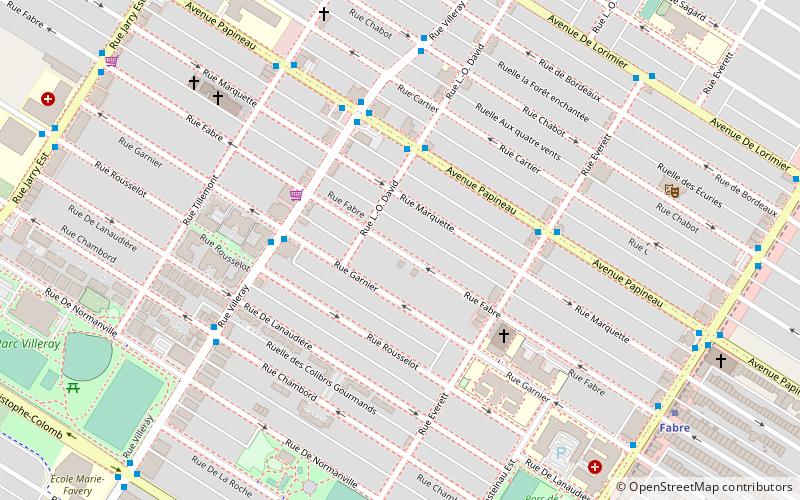
Map

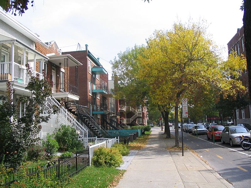
Gallery

Facts and practical information
Villeray–Saint-Michel–Parc-Extension is a borough in the city of Montreal, Quebec. It had a population of 143,853 according to the 2016 Census and a land area of 16.5 square kilometres. ()
Day trips
Villeray–Saint-Michel–Parc-Extension – popular in the area (distance from the attraction)
Nearby attractions include: Boulevard Shopping Centre, Stade IGA, Saint-Jean-Berchmans Church, Saint-Ambroise Church.
Frequently Asked Questions (FAQ)
Which popular attractions are close to Villeray–Saint-Michel–Parc-Extension?
Nearby attractions include Christophe Colomb Avenue, Montreal (8 min walk), Saint-Arsène Church, Montreal (16 min walk), St. George Antiochian Orthodox Church, Montreal (17 min walk), Jean Talon Street, Montreal (18 min walk).
How to get to Villeray–Saint-Michel–Parc-Extension by public transport?
The nearest stations to Villeray–Saint-Michel–Parc-Extension:
Bus
Metro
Bus
- Papineau / L.-O.-David • Lines: 45-N, 45-S (3 min walk)
- Villeray / Garnier • Lines: 99-E, 99-O (4 min walk)
Metro
- Fabre • Lines: 5 (9 min walk)
- D’Iberville • Lines: 5 (16 min walk)

 Metro
Metro


