Tyroparc, Sainte-Agathe-des-Monts
Map

Map

Facts and practical information
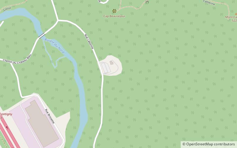
Tyroparc (address: 400, Chemin du Mont Catherine) is a place located in Sainte-Agathe-des-Monts (Québec province) and belongs to the category of adventure park, outdoor activities, tours.
It is situated at an altitude of 1152 feet, and its geographical coordinates are 46°3'29"N latitude and 74°15'50"W longitude.
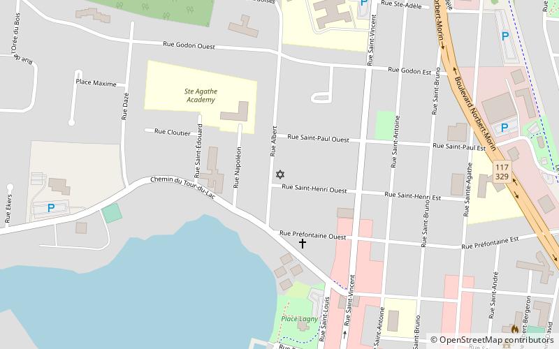
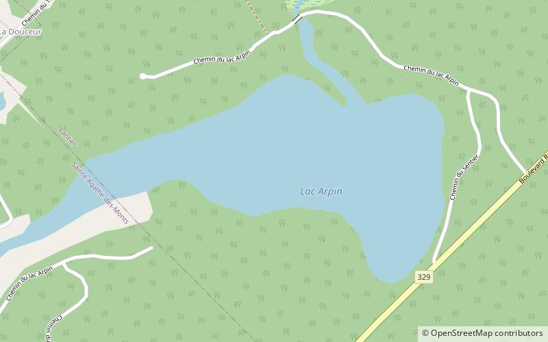
Among other places and attractions worth visiting in the area are: Congregation House of Israel (synagogue, 35 min walk), Val-David (village, 84 min walk), Lake Arpin (nature, 129 min walk).
Coordinates: 46°3'29"N, 74°15'50"W
Address
400, Chemin du Mont CatherineSainte-Agathe-des-Monts J8C 0L1
Contact
+1 819-324-2002
Social media
Add
Day trips
Tyroparc – popular in the area (distance from the attraction)
Nearby attractions include: Congregation House of Israel, Lake Arpin, Val-David.
Frequently Asked Questions (FAQ)
When is Tyroparc open?
Tyroparc is open:
- Monday 8:30 am - 5 pm
- Tuesday 8:30 am - 5 pm
- Wednesday 8:30 am - 5 pm
- Thursday 8:30 am - 5 pm
- Friday 8:30 am - 5 pm
- Saturday 8:30 am - 5 pm
- Sunday 8:30 am - 5 pm


