Kay Cee Gardens, Orangeville
Map

Map

Facts and practical information
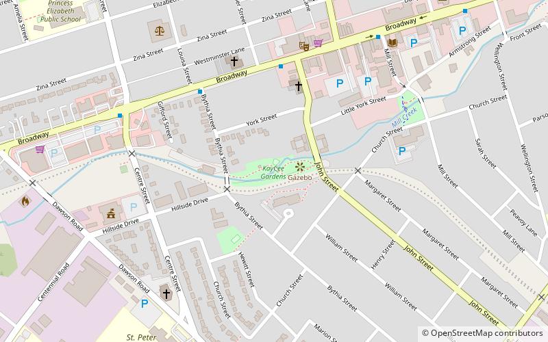
Kay Cee Gardens (address: 29 Bythia Street) is a place located in Orangeville (Ontario province) and belongs to the category of relax in park, park.
It is situated at an altitude of 1424 feet, and its geographical coordinates are 43°54'59"N latitude and 80°5'58"W longitude.
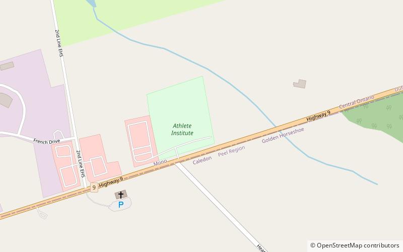
Among other places and attractions worth visiting in the area are: Dragonfly Arts on Broadway (museum, 7 min walk), Caledon Lake (nature, 64 min walk), Athlete Institute (sport venue, 77 min walk).
Elevation: 1424 ft a.s.l.Coordinates: 43°54'59"N, 80°5'58"W
Address
29 Bythia StreetOrangevilleOrangeville
ContactAdd
Social media
Add
Day trips
Kay Cee Gardens – popular in the area (distance from the attraction)
Nearby attractions include: Hockley Valley Resort, Osprey Valley Golf, Caledon Lake, Hockley Valley Provincial Nature Reserve.


