Alexandra Bridge
Map

Map

Facts and practical information
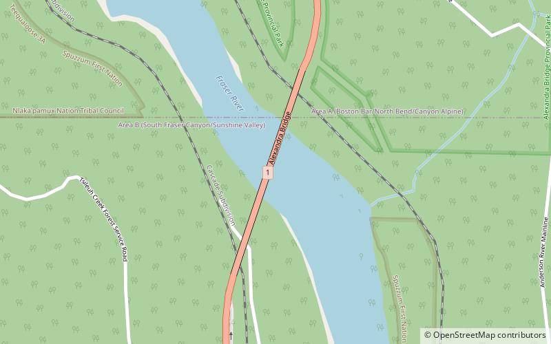
The Alexandra Bridge is a steel arch-span bridge crossing the Fraser River on the north side of Spuzzum, British Columbia and 39 km from Hope, on the Trans-Canada Highway in the Fraser Canyon region of southern British Columbia, Canada. It was constructed between 1960 and 1964 and is the third structure in the area named the Alexandra Bridge. ()
Coordinates: 49°42'4"N, 121°24'36"W
Day trips
Alexandra Bridge – popular in the area (distance from the attraction)
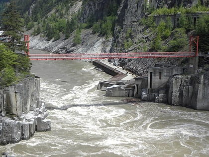
Nearby attractions include: Hell's Gate, Alexandra Bridge Provincial Park.


