Manicouagan Reservoir, René-Levasseur Island

Gallery (2)
Map


Map
Gallery
Facts and practical information
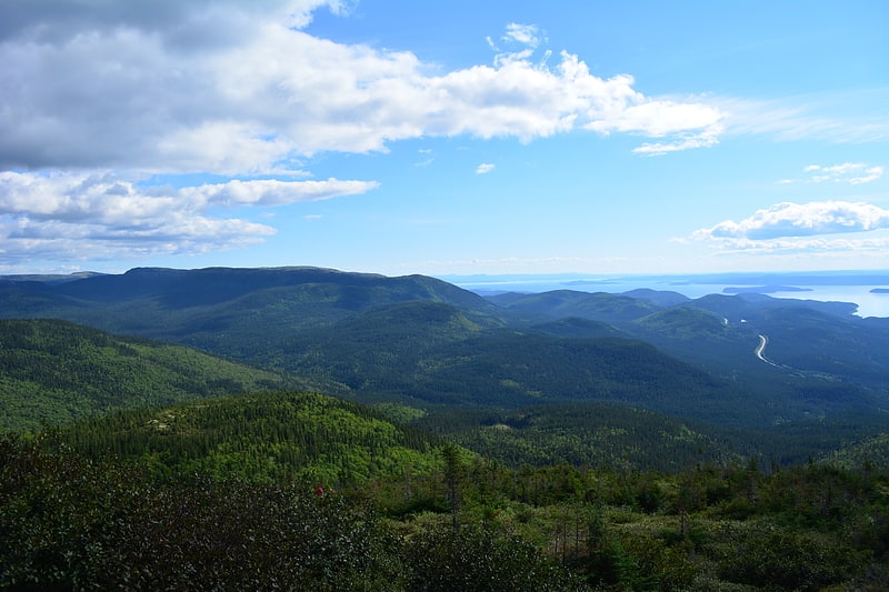
Manicouagan Reservoir is an annular lake in central Quebec, Canada, covering an area of 1,942 km2. The lake island in its centre is known as René-Levasseur Island, and its highest point is Mount Babel. The structure was created 214 million years ago, in the Late Triassic, by the impact of a meteorite 5 km in diameter. The lake and island are clearly seen from space and are sometimes called the "eye of Quebec". The lake has a volume of 137.9 km3. ()
Alternative names: Area: 749.81 mi²Maximum depth: 1148 ftElevation: 1722 ft a.s.l.Coordinates: 51°22'60"N, 68°41'60"W
Address
René-Levasseur Island
ContactAdd
Social media
Add
Day trips