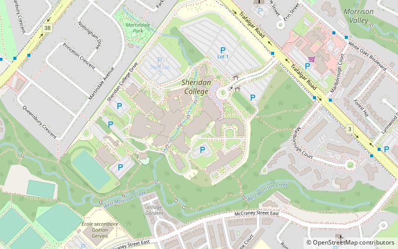
Sheridan College, Oakville
Map

Map

Facts and practical information
Sheridan College Institute of Technology and Advanced Learning is a public polytechnic institute of technology located in the west-Greater Toronto Area in Ontario, Canada. ()
Established: 1967 (59 years ago)Coordinates: 43°28'6"N, 79°41'57"W
Day trips
Sheridan College – popular in the area (distance from the attraction)
Nearby attractions include: Oakville Place, Glen Abbey Golf Course, Canadian Golf Hall of Fame, Oakville Academy for the Arts.
Frequently Asked Questions (FAQ)
How to get to Sheridan College by public transport?
The nearest stations to Sheridan College:
Bus
Train
Bus
- Oakville GO • Lines: 18B, 18C, 18F, 18G, 18H (32 min walk)
Train
- Oakville (32 min walk)


