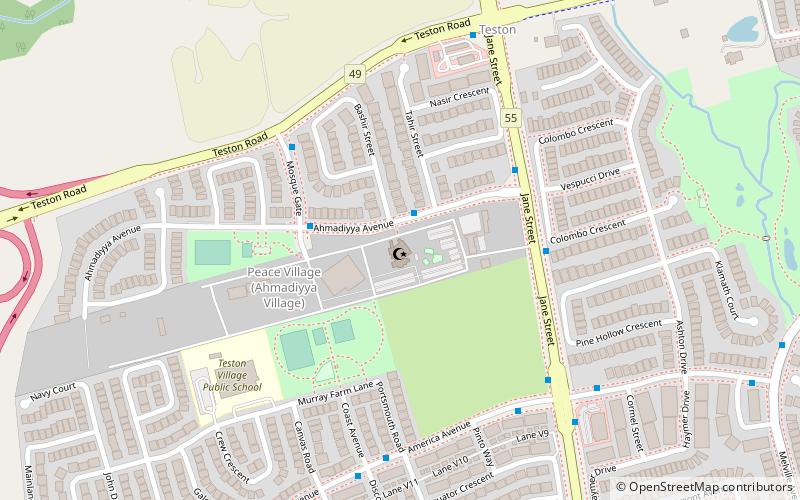
Baitul Islam Mosque, Vaughan
Map

Map

Facts and practical information
Completed: 1992 (34 years ago)Coordinates: 43°51'54"N, 79°32'35"W
Day trips
Baitul Islam Mosque – popular in the area (distance from the attraction)
Nearby attractions include: Canada's Wonderland, Leviathan Roller Coaster, Wonder Mountain's Guardian, Ghoster Coaster.
Frequently Asked Questions (FAQ)
How to get to Baitul Islam Mosque by public transport?
The nearest stations to Baitul Islam Mosque:
Bus
Bus
- Ahmadiyya Avenue / Tahir Street • Lines: 20 (2 min walk)
- Aymadiyya Avenue / Mosque Gate • Lines: 20 (3 min walk)


