Overlanders Bridge, Kamloops
Map
Facts and practical information
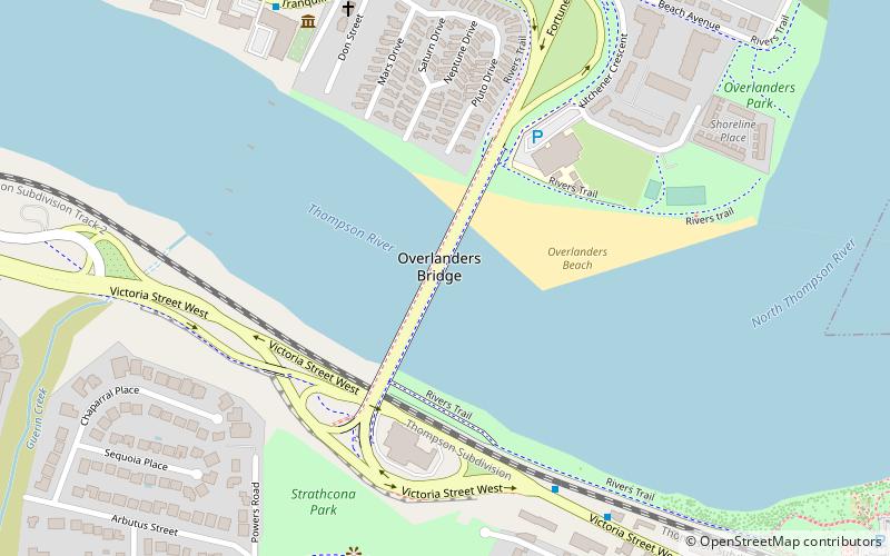
The Overlanders Bridge is a bridge that spans the Thompson River in Kamloops, British Columbia. It connects Fortune Drive and Tranquille Road in the north with Victoria Street in the south. The bridge opened on November 22, 1961, becoming the third bridge to traverse the Thompson River in this location. The bridge carries approximately 42,000 vehicles daily. The City of Kamloops rehabilitated the bridge in 2015 following reports indicating significant wear on both the bridge deck and the west sidewalk. ()
Opened: 1961 (65 years ago)Length: 1969 ftCoordinates: 50°40'52"N, 120°20'60"W
Address
North ShoreKamloops
ContactAdd
Social media
Add
Day trips


Frequently Asked Questions (FAQ)
Which popular attractions are close to Overlanders Bridge?
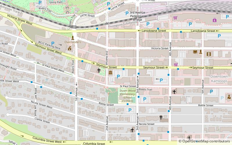
Nearby attractions include Riverside Park, Kamloops (14 min walk), Kamloops Museum and Archives, Kamloops (20 min walk), Sacred Heart Cathedral, Kamloops (24 min walk).