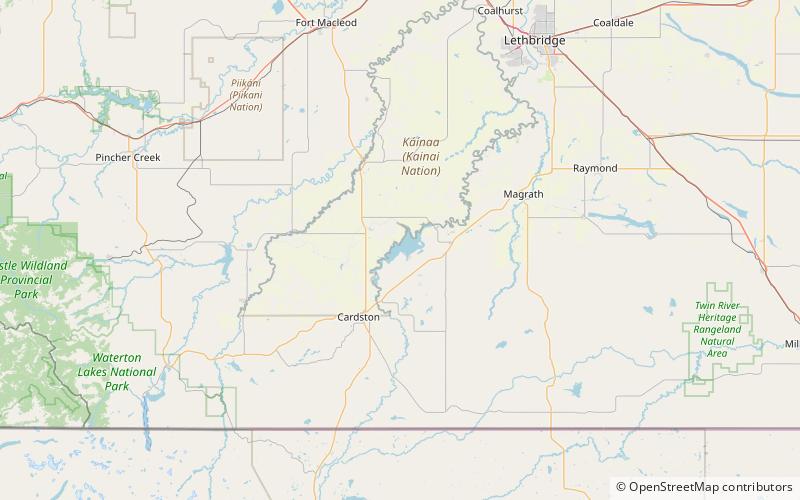
St. Mary Reservoir
Map

Map

Facts and practical information
St. Mary Reservoir is a reservoir in southwestern Alberta, Canada. It was created for irrigation purposes by the damming of the St. Mary River, which was completed in 1951. The Kainai Nation's Blood 148 Indian reserve borders its northwest side. There are camping and picnic areas at the reservoir, and it is a popular site for power boating, water skiing, windsurfing, swimming and fishing. ()
Alternative names: Length: 4.91 miWidth: 6.15 miMaximum depth: 185 ftElevation: 3596 ft a.s.l.Coordinates: 49°19'10"N, 113°12'14"W
Location
Alberta
ContactAdd
Social media
Add
