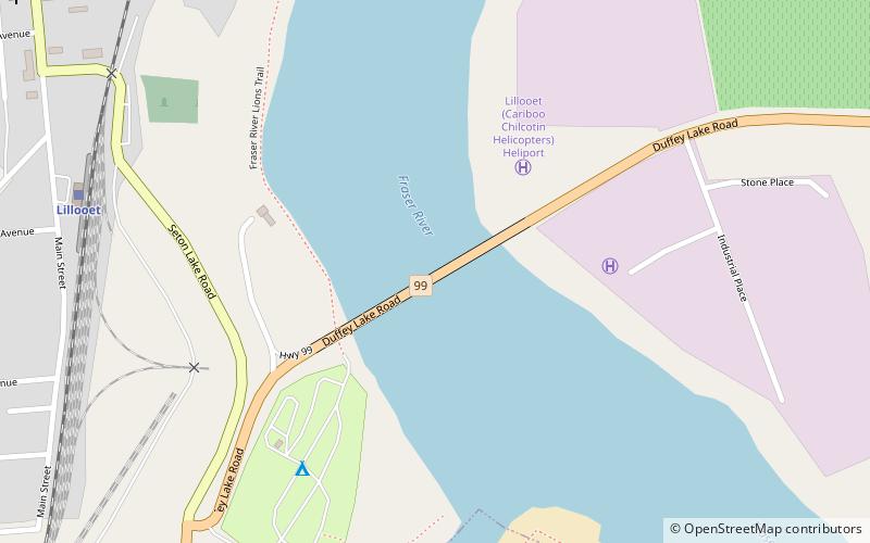
Bridge of the Twenty-Three Camels, Lillooet
Map

Map

Facts and practical information
Bridge of the Twenty-Three Camels is the official name of the highway bridge over the Fraser River at Lillooet, British Columbia, Canada, on BC Highway 99. It replaced the older 1913-vintage Lillooet Suspension Bridge, just upstream, which had no highway designation but connected the town to BC Highway 12, a designation which today only refers to the Lillooet-Lytton highway but, until the extension of the 99 designation from Pemberton, also included the Lillooet-Cache Creek highway. ()
Coordinates: 50°41'2"N, 121°55'44"W
Address
Lillooet
ContactAdd
Social media
Add
Day trips
Bridge of the Twenty-Three Camels – popular in the area (distance from the attraction)
Nearby attractions include: Lillooet Museum, Miyazaki House.
Frequently Asked Questions (FAQ)
Which popular attractions are close to Bridge of the Twenty-Three Camels?
Nearby attractions include Lillooet Museum, Lillooet (16 min walk), Miyazaki House, Lillooet (19 min walk).


