Burlington Bay James N. Allan Skyway, Burlington
Map
Map

Facts and practical information
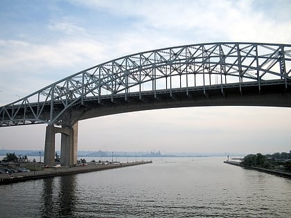
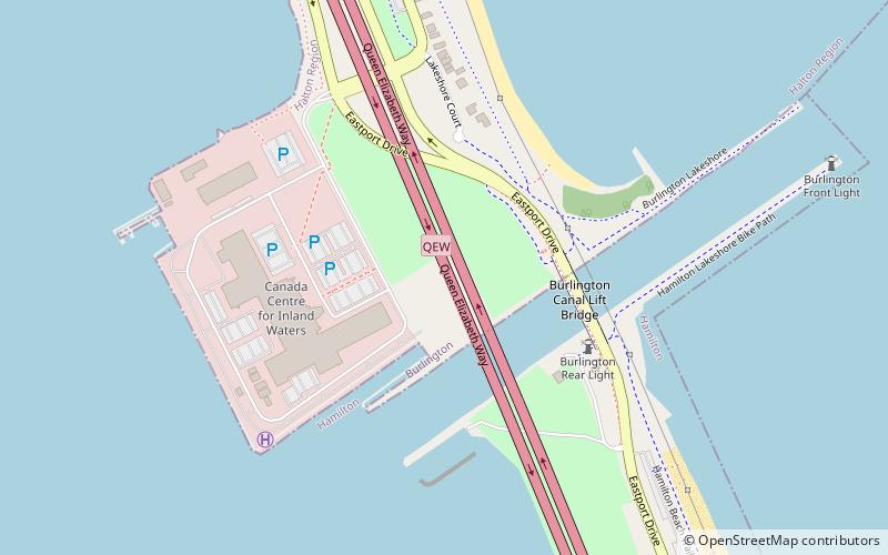
The Burlington Bay James N. Allan Skyway, originally called the Burlington Bay Skyway and simply known as the Burlington Skyway, is a pair of high-level freeway bridges spanning the Burlington Bay Canal. The Skyway, as it is locally known, is located in Hamilton and Burlington, Ontario, Canada, and is part of the Queen Elizabeth Way highway linking Fort Erie with Toronto. ()
Opened: 1985 (41 years ago)Length: 8399 ftWidth: 98 ftHeight: 210 ftCoordinates: 43°17'58"N, 79°47'53"W
Address
Downtown Burlington (Maple)Burlington
ContactAdd
Social media
Add
Day trips
Burlington Bay James N. Allan Skyway – popular in the area (distance from the attraction)
Nearby attractions include: Mapleview Shopping Centre, Tim Hortons Field, Burlington Mall, Spencer Smith Park.
Frequently Asked Questions (FAQ)
Which popular attractions are close to Burlington Bay James N. Allan Skyway?
Nearby attractions include Burlington Canal Lift Bridge, Burlington (4 min walk), Burlington Beach Rentals, Burlington (18 min walk).
