Jones Falls Dam

Gallery (1)
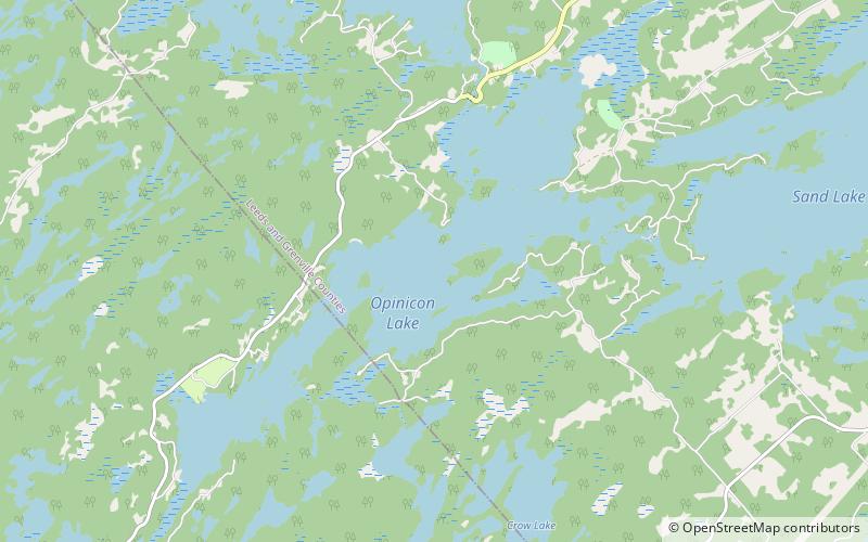
Map
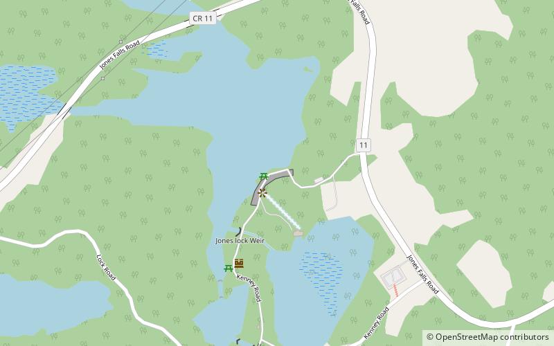
Map
Facts and practical information
Jones Falls Dam is a dam on the Rideau Canal located in Rideau Lakes, Leeds and Grenville United Counties, Ontario, Canada, that was built between 1828 and 1831 to tame the mile-long series of rapids and falls that flowed from Sand Lake and into the White Fish River. ()
Coordinates: 44°32'56"N, 76°14'14"W
Location
Ontario
ContactAdd
Social media
Add
Day trips
Jones Falls Dam – popular in the area (distance from the attraction)
Nearby attractions include: Opinicon Lake.