Mont-Apica, Tantaré Ecological Reserve

Gallery (1)
Map
Map
Facts and practical information
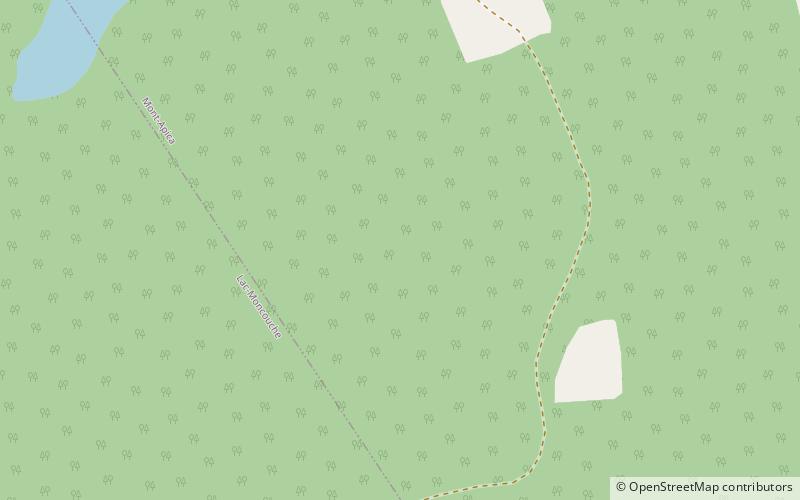
Mont-Apica is an unorganized territory in the Canadian province of Quebec, located in the regional county municipality of Lac-Saint-Jean-Est. It had a population of 0 in the Canada 2011 Census, and covered a land area of 12.68 km2, entirely within the Laurentides Wildlife Reserve. ()
Area: 4.95 mi²Coordinates: 47°58'60"N, 71°25'60"W
Address
Tantaré Ecological Reserve
ContactAdd
Social media
Add