Centennial Bridge, Miramichi
Map
Map

Facts and practical information
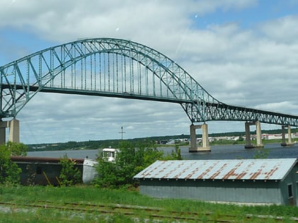
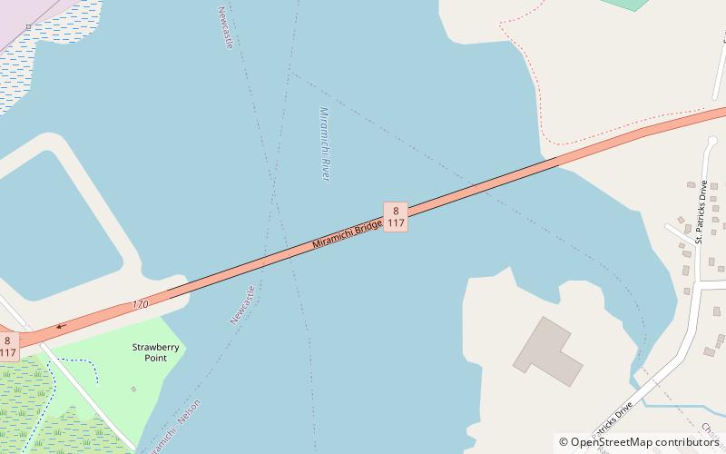
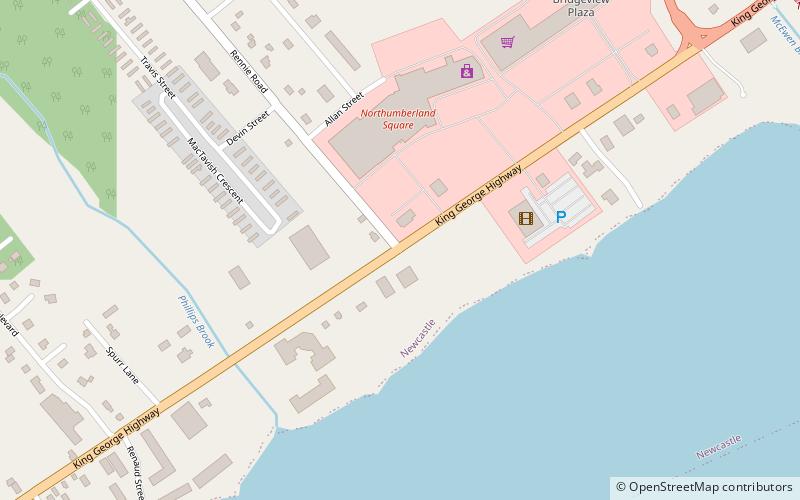
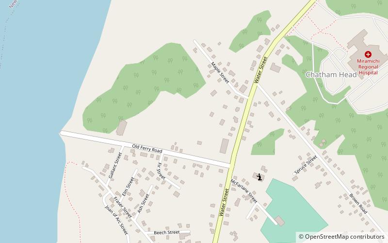
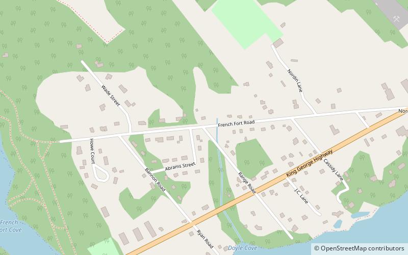
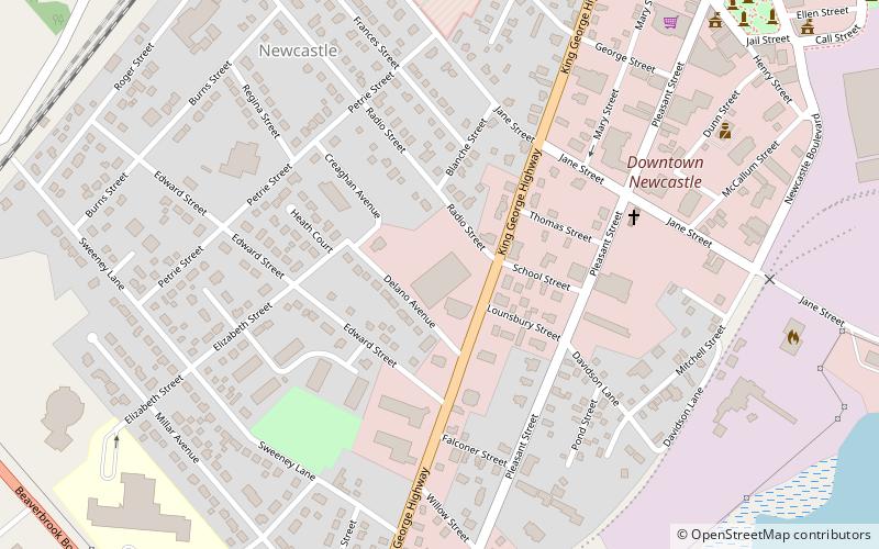
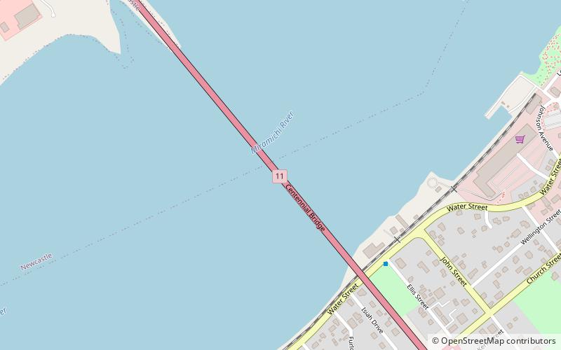
Centennial Bridge is a steel through arch crossing the Miramichi River in Northumberland County, New Brunswick, Canada. The bridge is 1.1 km long, and 240 feet high. It carries Route 11, Route 8, and Route 134 over the river, connecting Douglastown on the north bank with Chatham on the south bank; both communities were merged with others in the vicinity through municipal amalgamation into the city of Miramichi. ()
Coordinates: 47°1'40"N, 65°28'47"W
Address
Miramichi
ContactAdd
Social media
Add
Day trips
Centennial Bridge – popular in the area (distance from the attraction)
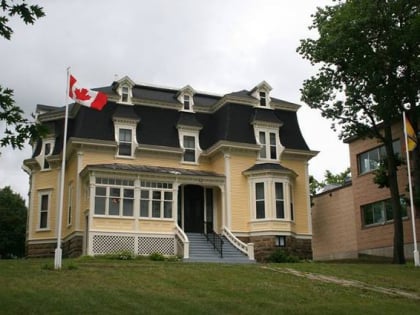
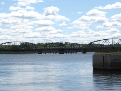
Nearby attractions include: St. Michael's Basilica, Miramichi Bridge, Beaverbrook House, Morrissy Bridge.
Frequently Asked Questions (FAQ)
Which popular attractions are close to Centennial Bridge?
Nearby attractions include St. Michael's Basilica, Miramichi (18 min walk), Douglastown, Miramichi (18 min walk).
