Seton Lake
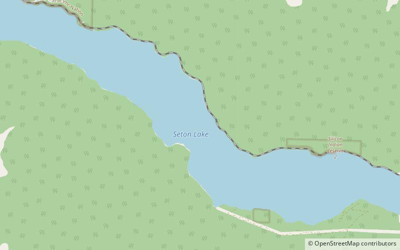
Map

Gallery

Facts and practical information
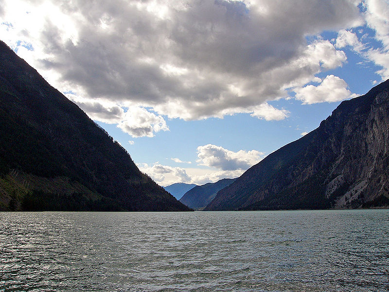
Seton Lake is a freshwater fjord draining east via the Seton River into the Fraser River at the town of Lillooet, about 22 km long, 26.2 km2 in area and lies at an elevation of 243 m. Its depth is 460 m. ()
Alternative names: Average depth: 1500 ftElevation: 797 ft a.s.l.Coordinates: 50°41'57"N, 122°8'17"W
Location
British Columbia
ContactAdd
Social media
Add
