Nao Lake
Map

Map

Facts and practical information
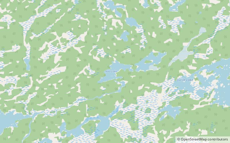
Nao Lake is a glacial lake on the Mistik Creek chain in the Hudson Bay drainage basin in the Northern Region of Manitoba, Canada. It sits in the Churchill River Upland portion of the Midwestern Canadian Shield forests which consist of mixed deciduous and coniferous trees. The region around the lake consists of rocky parallel ridges with poorly drained areas of muskeg and irregular rocky shorelines due to intense glaciation. The lake is situated on the well known "Mistik Creek Loop", a remote canoe route 95 km in length which can be paddled in four days. ()
Length: 4921 ftWidth: 1969 ftElevation: 1047 ft a.s.l.Coordinates: 54°43'5"N, 101°25'41"W
Location
Manitoba
ContactAdd
Social media
Add
Day trips
Nao Lake – popular in the area (distance from the attraction)
Nearby attractions include: Neso Lake, Nisto Lake, Holt Lake, Tapukok Lake.


