Port Robinson, Thorold
Map
Gallery
Facts and practical information
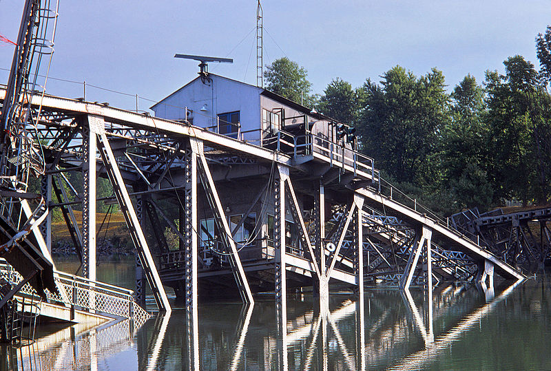
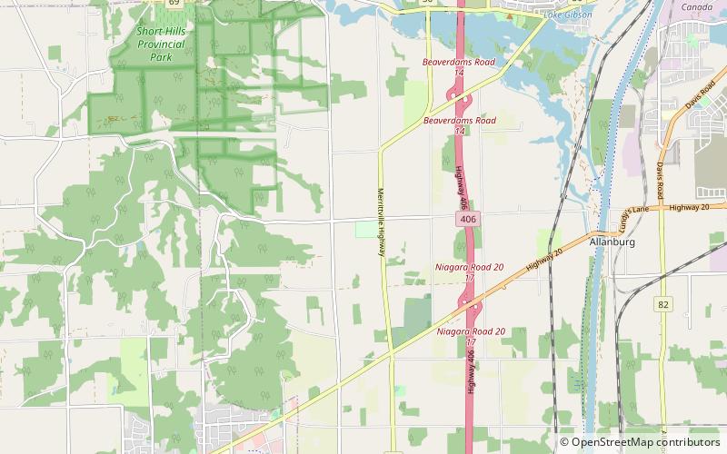
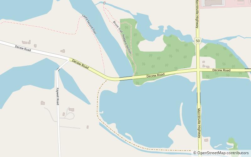
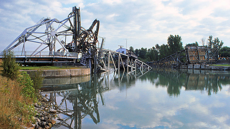
Port Robinson is a small community in the southernmost part of Thorold, Ontario, Canada. The community is divided in half by the Welland Canal, as there is no bridge in the immediate vicinity to connect the two halves of the community. In the summer, a small free ferry for pedestrians and cyclists runs across the canal. In the winter, residents must use the bridge on Highway 20, which results in a 13.3 km trip to get to the other side. ()
Coordinates: 43°2'20"N, 79°12'59"W
Address
Thorold (Port Robinson)Thorold
ContactAdd
Social media
Add
Day trips
Port Robinson – popular in the area (distance from the attraction)
Nearby attractions include: Seaway Mall, Merrittville Speedway, Welland Canal Bridge 11, DeCou House.


