Mount Cokely
Map

Map

Facts and practical information
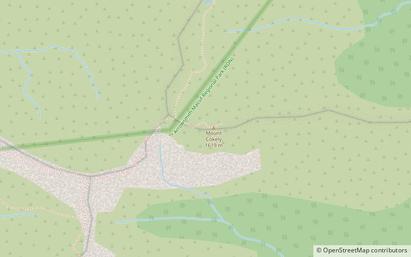
Mount Cokely, formerly known as The Hump and at times misspelled in some sources as Mount Copely and Mount Coakely, is a mountain on Vancouver Island, British Columbia, Canada, located 16 km east of Port Alberni and 2 km north of Mount Arrowsmith in Cameron Land District. The peak was named for Sterling Cokely, a British Columbia Land Surveyor. ()
Elevation: 5312 ftProminence: 417 ftCoordinates: 49°14'21"N, 124°35'13"W
Location
British Columbia
ContactAdd
Social media
Add
Day trips
Mount Cokely – popular in the area (distance from the attraction)
Nearby attractions include: MacMillan Provincial Park, Cameron Lake, Rowbotham Lake, Mount Arrowsmith.


