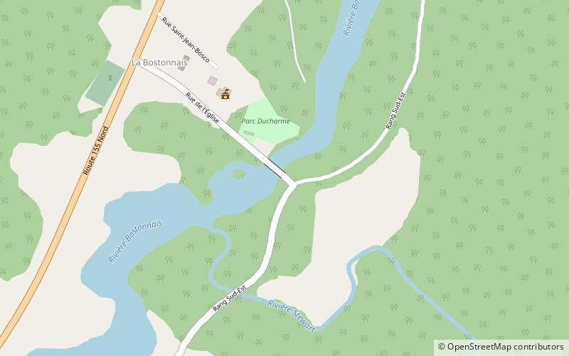
Ducharme Bridge
Map

Map

Facts and practical information
The Ducharme Bridge is a covered bridge with a lattice truss structure, which crosses the Bostonnais River in the center of La Bostonnais, Quebec. The bridge was built in 1946 and it is 41.76 metres long. It was classified as a historic monument in 2006, because it was a late example of an elaborated town bridge, a truss developed by the Departement of colonization of Quebec at the turn of the 20th century. It was named after Romulus Ducharme, MLA of Laviolette in 1936-1939 and 1944–1966. ()
Opened: 1948 (78 years ago)Length: 137 ftWidth: 21 ftCoordinates: 47°31'11"N, 72°40'51"W
Location
Québec
ContactAdd
Social media
Add
