Desjardins Canal, Hamilton
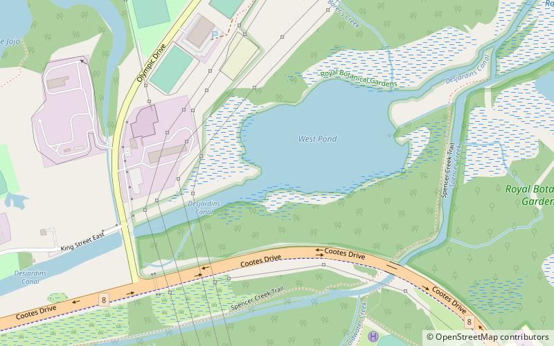
Map
Map

Facts and practical information
The Desjardins Canal, named after its promoter Pierre Desjardins, was built to give Dundas, Ontario, easier access to Lake Ontario and the Great Lakes system of North America. Although a technological achievement and a short term commercial success, the canal was soon eclipsed by the railway, and Dundas by neighbouring Hamilton. ()
Coordinates: 43°16'11"N, 79°55'55"W
Address
Cootes ParadiseHamilton
ContactAdd
Social media
Add
Day trips
Desjardins Canal – popular in the area (distance from the attraction)
Nearby attractions include: Dyment Falls, McMaster Museum of Art, McMaster Divinity College, Carnegie Gallery.
Frequently Asked Questions (FAQ)
Which popular attractions are close to Desjardins Canal?
Nearby attractions include H. G. Thode Library of Science and Engineering at McMaster University, Hamilton (20 min walk), McMaster University, Hamilton (21 min walk), McMaster Museum of Art, Hamilton (22 min walk), McMaster University Library, Hamilton (22 min walk).
How to get to Desjardins Canal by public transport?
The nearest stations to Desjardins Canal:
Bus
Bus
- McMaster University Bus Terminal Platform 2 • Lines: 15, 15A (18 min walk)
- McMaster University Bus Terminal Platform 5 • Lines: 41, 47 (19 min walk)


