Berczy Park, Toronto
Map
Gallery

Facts and practical information
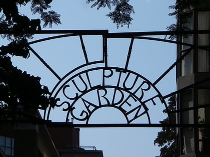
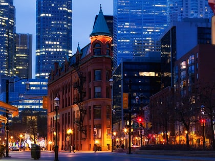
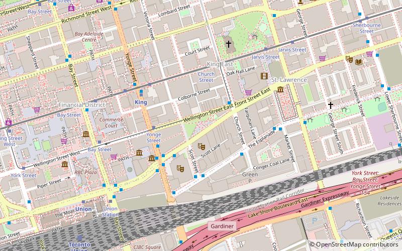
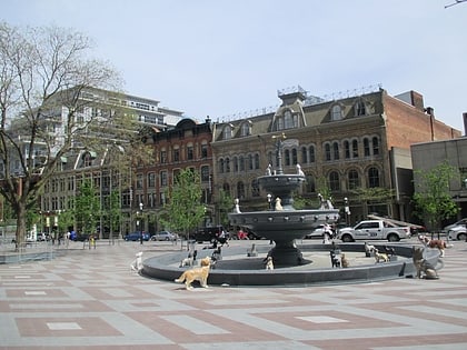
Berczy Park is a small park in downtown Toronto, Ontario, Canada. The park is triangular in shape, bounded by Scott Street, Front Street and Wellington Street. The park is bordered at its eastern tip, where Wellington and Front join, by the Gooderham Building, a heritage building that is an example of a "flatiron building". A widely admired mural graces the western facade of the building. ()
Elevation: 259 ft a.s.l.Coordinates: 43°38'53"N, 79°22'31"W
Address
35 Wellington St. EastDowntown Toronto (Saint Lawrence)Toronto
ContactAdd
Social media
Day trips
Berczy Park – popular in the area (distance from the attraction)
Nearby attractions include: Hockey Hall of Fame, First Canadian Place, IIHF Hall of Fame, St. Lawrence Market.
Frequently Asked Questions (FAQ)
Which popular attractions are close to Berczy Park?
Nearby attractions include Gooderham Building, Toronto (2 min walk), St. Lawrence Centre for the Arts, Toronto (2 min walk), Colborne Street, Toronto (2 min walk), Meridian Hall, Toronto (3 min walk).
How to get to Berczy Park by public transport?
The nearest stations to Berczy Park:
Bus
Tram
Metro
Train
Ferry
Bus
- Scott Street • Lines: 121 (3 min walk)
- Church Street • Lines: 121 (3 min walk)
Tram
- Yonge Street • Lines: 503 (3 min walk)
- Church Street • Lines: 503, 504A, 504B (4 min walk)
Metro
- King • Lines: 1 (4 min walk)
- Union • Lines: 1 (8 min walk)
Train
- Toronto Union Station (9 min walk)
Ferry
- Jack Layton Ferry Terminal • Lines: Toronto Island Ferry, Ward's Island (14 min walk)
- Ward's Island • Lines: Ward's Island (37 min walk)
 Subway
 Streetcar system
 PATH
PATH


