Drummond Street, Montreal

Gallery (2)
Map


Map
Gallery
Facts and practical information
Drummond Street is a north–south street located in downtown Montreal, Quebec, Canada. Spanning a total of 1.2 kilometres, it links Doctor Penfield Avenue in the north and De la Gauchetière Street in the south. ()
Length: 3937 ftCoordinates: 45°29'57"N, 73°34'30"W
Address
1414 rue DrummondVille-Marie District (Quartier Ville-Marie)Montreal
ContactAdd
Social media
Getting there by public transportation
Public transportation stops near this location
- Metro
- Bus
- Train
 Metro
Metro
- Calculate routeDe Maisonneuve / de la Montagne 3 min walk
- Calculate routeSainte-Catherine / de la Montagne 3 min walk
- Calculate routePeel / Sainte-Catherine 3 min walk
- Calculate routePeel 3 min walk
- Calculate routeLucien L'Allier 9 min walk
- Calculate routeGuy-Concordia 9 min walk
- Calculate routeMcGill 10 min walk
- Calculate routeLucien-L'Allier 10 min walk
- Calculate routeMontreal Central Station 11 min walk
Maps Metro
Metro
MetroDay trips
Drummond Street – popular in the area (distance from the attraction)
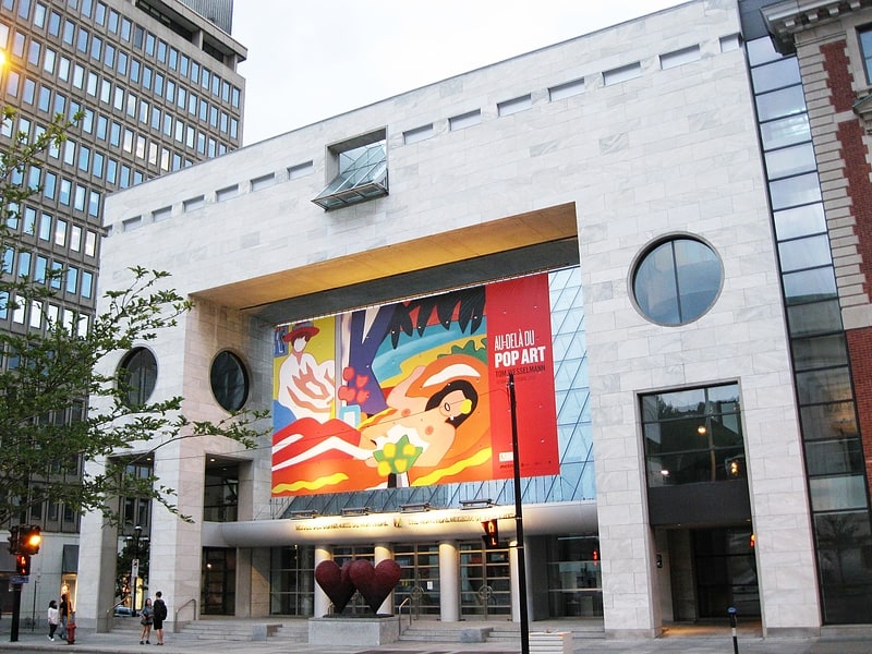
Nearby attractions include: Montreal Museum of Fine Arts, Dominion Square Building, Ogilvy, Dorchester Square.


Frequently Asked Questions (FAQ)
Which popular attractions are close to Drummond Street?
Nearby attractions include George Stephen House, Montreal (1 min walk), Stanley Street, Montreal (2 min walk), Castle Building, Montreal (2 min walk), Lépine Towers, Montreal (2 min walk).
How to get to Drummond Street by public transport?
The nearest stations to Drummond Street:
Bus
Metro
Train
Bus
- De Maisonneuve / de la Montagne • Lines: 15-O (3 min walk)
- Sainte-Catherine / de la Montagne • Lines: 15-E (3 min walk)
Metro
- Peel • Lines: 1 (3 min walk)
- Lucien L'Allier • Lines: 2 (9 min walk)
Train
- Lucien-L'Allier (10 min walk)
- Montreal Central Station (11 min walk)