Hooker and Brown

Map
Facts and practical information
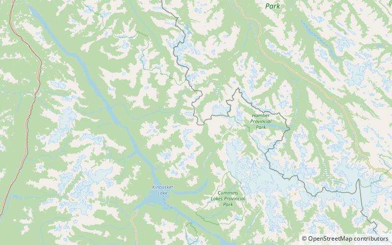
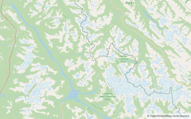
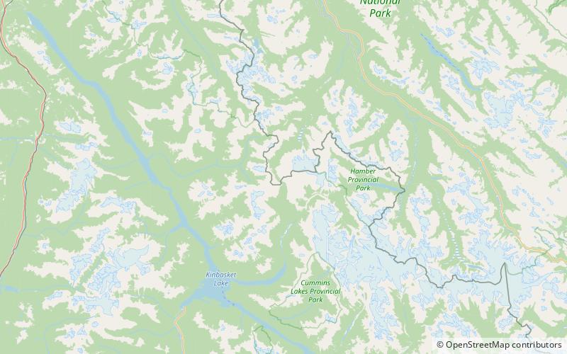
Hooker and Brown are two mythical mountains, once reputed to lie on the great Divide of the Canadian Rockies in Jasper National Park, bordering the Athabasca Pass, the old passage for the fur trade. These two peaks were reputed to be the highest mountains in North America at over 16,000 feet, and were maintained to be so on maps and atlases, for almost a hundred years, spurring the early mountaineers arriving on the railway to explore the Rockies and discover features such as the Columbia Icefield. ()
Coordinates: 52°22'49"N, 118°13'48"W
Location
British Columbia
ContactAdd
Social media
Add
Day trips
Hooker and Brown – popular in the area (distance from the attraction)
Nearby attractions include: Committee's Punch Bowl, McGillivray Ridge, Athabasca Pass.


