Blomidon Formation
Map

Map

Facts and practical information
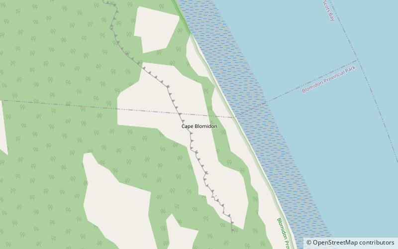
The Blomidon Formation is a unit of Upper Triassic sedimentary rocks, which outcrops in Nova Scotia. At outcrop they reach a maximum thickness of 365 metres, but up to 1,168 metres has been proven from well data and a thickness of up to 2,500 metres has been inferred from seismic reflection data. It overlies the mainly Carnian Wolfville Formation and underlies the North Mountain Basalt. The type section is exposed between Cape Blomidon and Paddy Island. ()
Coordinates: 45°17'42"N, 64°19'57"W
Location
Nova Scotia
ContactAdd
Social media
Add
Day trips
Blomidon Formation – popular in the area (distance from the attraction)
Nearby attractions include: Ottawa House By-The-Sea Museum & Archives, Blomidon Provincial Park.


