South Surrey Athletic Park, Surrey

Map
Facts and practical information
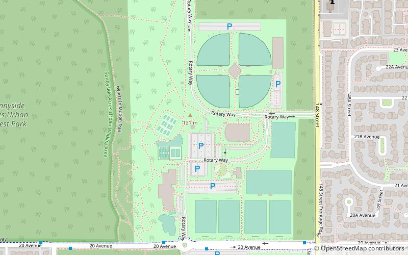
South Surrey Athletic Park is a popular recreational park in the White Rock/South Surrey community. The park is bound by 18th avenue to the south, 148th street to the east, 24th avenue to the North and Sunnyside Urban Acres Forest to the west. ()
Elevation: 397 ft a.s.l.Coordinates: 49°2'30"N, 122°49'1"W
Day trips
South Surrey Athletic Park – popular in the area (distance from the attraction)
Nearby attractions include: Semiahmoo Shopping Centre, Jessie Lee Elementary, I love Cheryl's Trading Post, Arnold Mikelson Mind & Matter Art Gallery.
Frequently Asked Questions (FAQ)
How to get to South Surrey Athletic Park by public transport?
The nearest stations to South Surrey Athletic Park:
Bus
Bus
- 20 Ave at Rotary Way • Lines: 360 (6 min walk)
- 148 St at 20 Ave • Lines: 360 (9 min walk)


