Lemoine Point Conservation Area, Kingston
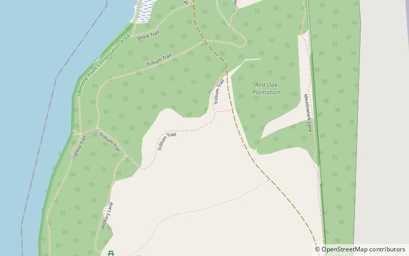
Map
Map

Facts and practical information
Lemoine Point Conservation Area is a 136-hectare recreational conservation area at the west end of Kingston, Ontario. The area is bordered by Collins Bay on the north and west sides, Lake Ontario on the south and Kingston/Norman Rogers Airport on the east. ()
Elevation: 292 ft a.s.l.Coordinates: 44°13'32"N, 76°36'41"W
Address
Lemoine PointKingston
ContactAdd
Social media
Add
Day trips
Lemoine Point Conservation Area – popular in the area (distance from the attraction)
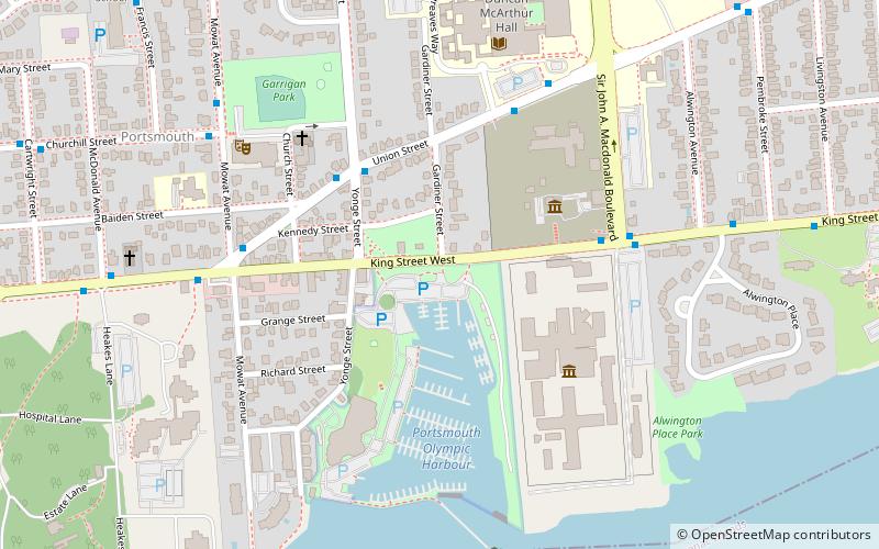
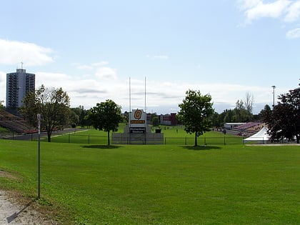
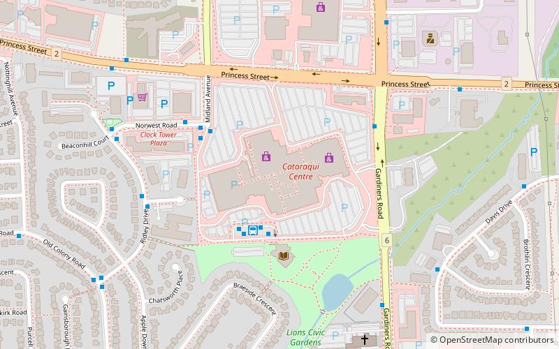
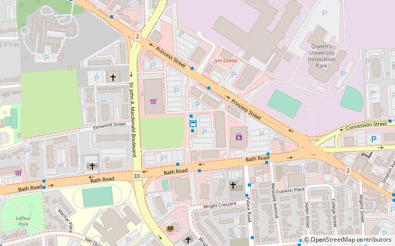
Nearby attractions include: Portsmouth Olympic Harbour, Richardson Stadium, Cataraqui Centre, Kingston Centre.

