Maizerets, Quebec City
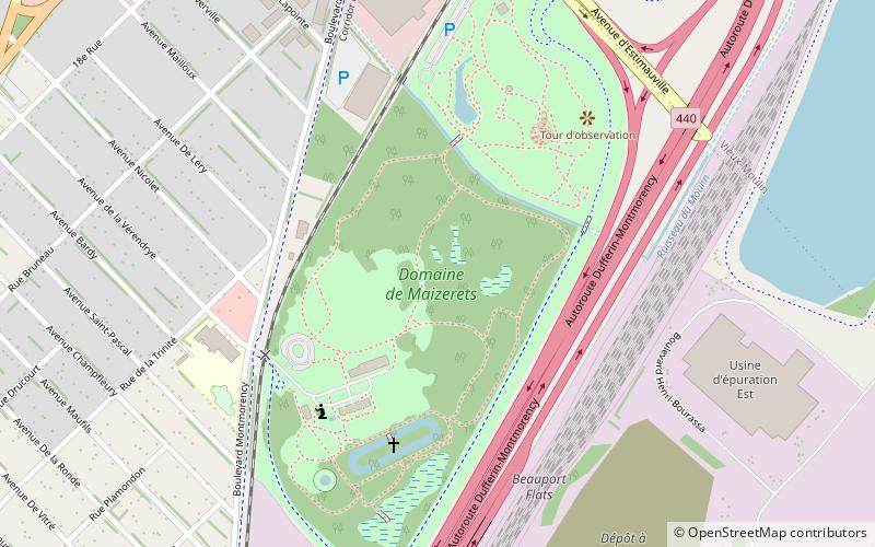
Map

Map

Facts and practical information
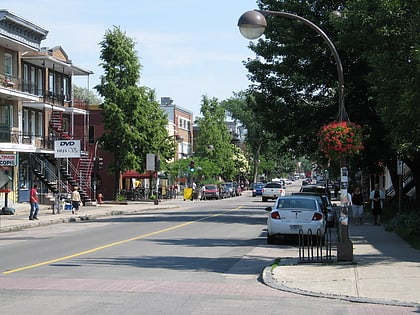
Maizerets is a neighbourhood of the la Cité-Limoilou borough of Quebec City, Quebec, Canada that had a population of 14 700 in 2011. ()
Elevation: 10 ft a.s.l.Coordinates: 46°50'15"N, 71°12'44"W
Day trips
Maizerets – popular in the area (distance from the attraction)
Nearby attractions include: La Cité-Limoilou, Parc de l'Amérique-Latine, Baie de Beauport, Les Galeries de la Canardière.
Frequently Asked Questions (FAQ)
How to get to Maizerets by public transport?
The nearest stations to Maizerets:
Bus
Bus
- De Courtemanche • Lines: 802 (12 min walk)
- Bardy • Lines: 800, 802 (12 min walk)


