Dorchester Bridge, Quebec City
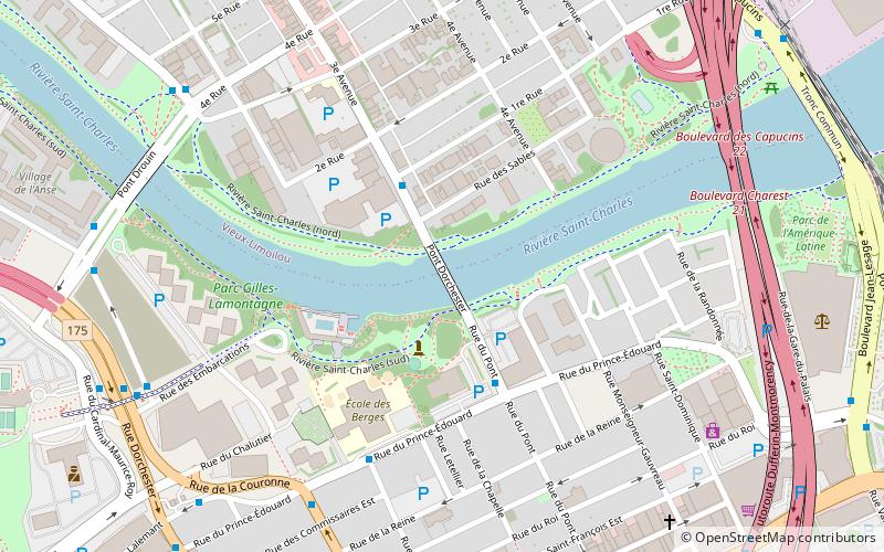
Map
Facts and practical information
The Dorchester Bridge is a bridge in Quebec City which was built by Asa Porter and opened on 24 September 1789. The bridge was named after Guy Carleton, 1st Baron Dorchester and was the first permanent bridge in Quebec City. The bridge crossed the Saint-Charles River near its mouth, connecting to Craig Street. ()
Opened: 24 September 1789 (236 years ago)Coordinates: 46°49'9"N, 71°13'25"W
Address
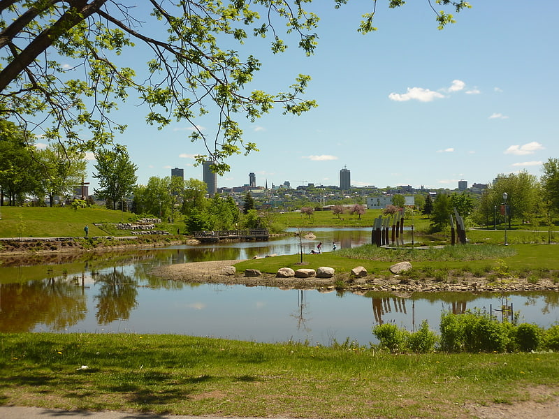
Limoilou (Vieux-Limoilou)Quebec City
ContactAdd
Social media
Add
Getting there by public transportation
Public transportation stops near this location
- Bus
- Train
- Ferry
 Bus
Bus
- Calculate routeDu Prince-Édouard 8 min walk
- Calculate route4e Rue 8 min walk
- Calculate routeParc Victoria 8 min walk
- Calculate routeDe la Croix-Rouge 9 min walk
- Calculate routeQuébec 12 min walk
- Calculate routeQuébec 30 min walk
Day trips
Dorchester Bridge – popular in the area (distance from the attraction)
Nearby attractions include: Musée de l'Amérique francophone, Cartier-Brébeuf National Historic Site, Habitation de Québec, Saint-Jean-Baptiste Church.


Frequently Asked Questions (FAQ)
Which popular attractions are close to Dorchester Bridge?
Nearby attractions include Parc de l'Amérique-Latine, Quebec City (9 min walk), Palais de Justice de Québec, Quebec City (9 min walk), Impérial Bell, Quebec City (12 min walk), Capitole de Québec, Quebec City (17 min walk).
How to get to Dorchester Bridge by public transport?
The nearest stations to Dorchester Bridge:
Bus
Train
Ferry
Bus
- Du Prince-Édouard • Lines: 801 (8 min walk)
- 4e Rue • Lines: 801 (8 min walk)
Train
- Québec (12 min walk)
Ferry
- Québec • Lines: Québec - Lévis (30 min walk)