Honeymoon Bridge, Niagara Falls

Map
Facts and practical information
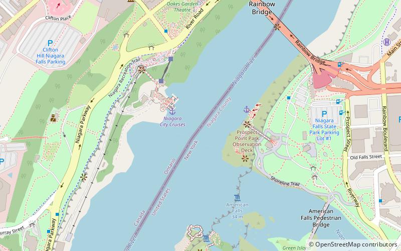
The Upper Steel Arch Bridge, also known as the Honeymoon Bridge or Fallsview Bridge, was an international bridge which crossed the Niagara River, connecting Niagara Falls, Ontario, Canada, with Niagara Falls, New York, United States. It was located about 500 feet upriver of the present-day Rainbow Bridge. It collapsed in 1938. ()
Address
Niagara Falls
ContactAdd
Social media
Add
Day trips
Honeymoon Bridge – popular in the area (distance from the attraction)
Nearby attractions include: Horseshoe Falls, Skylon Tower, Journey Behind the Falls, Clifton Hill.
Frequently Asked Questions (FAQ)
Which popular attractions are close to Honeymoon Bridge?
Nearby attractions include Hornblower Niagara Cruises, Niagara Falls (3 min walk), Niagara Clifton Bridge, Niagara Falls (4 min walk), Rainbow Bridge, Niagara Falls (8 min walk), Guinness Book of World Records Museum, Niagara Falls (8 min walk).
How to get to Honeymoon Bridge by public transport?
The nearest stations to Honeymoon Bridge:
Bus
Bus
- Fallsview Casino (17 min walk)
- WEGO - Table Rock Centre Sration (19 min walk)


