Naosap Mud Lake
Map

Map

Facts and practical information
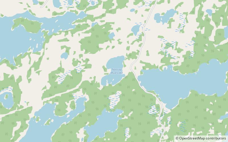
Naosap Mud Lake is a small glacial lake approximately 22 km northeast of Bakers Narrows which drains into Naosap Lake. It is part of the Nelson River watershed, in the Hudson Bay drainage basin in the Northern Region of Manitoba, Canada. ()
Length: 4593 ftWidth: 2297 ftElevation: 1089 ft a.s.l.Coordinates: 54°50'55"N, 101°29'38"W
Location
Manitoba
ContactAdd
Social media
Add
Day trips
Naosap Mud Lake – popular in the area (distance from the attraction)
Nearby attractions include: Nesosap Lake, Nistosap Lake, Alberts Lake, Mitatut Lake.


