HTO Park, Toronto
Map
Gallery
Facts and practical information
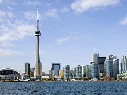
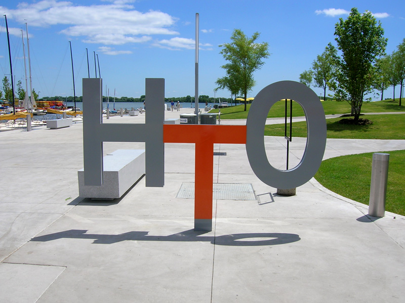
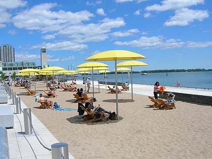
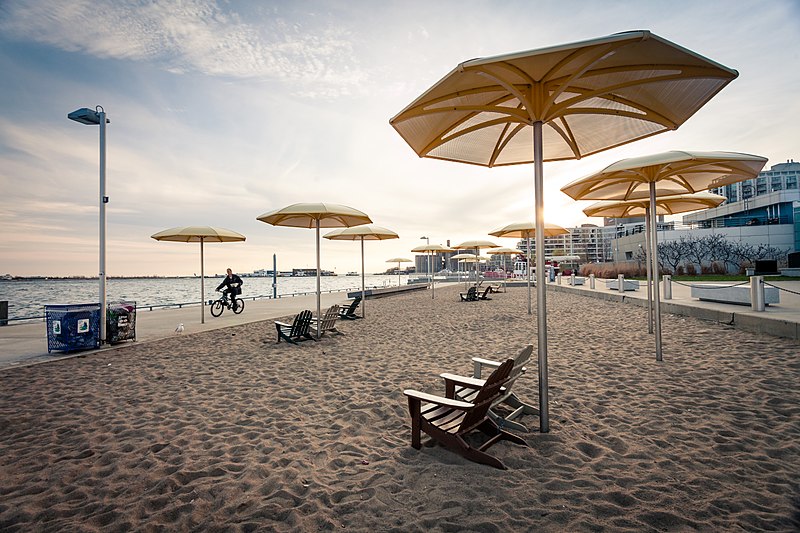
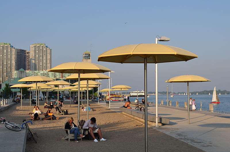
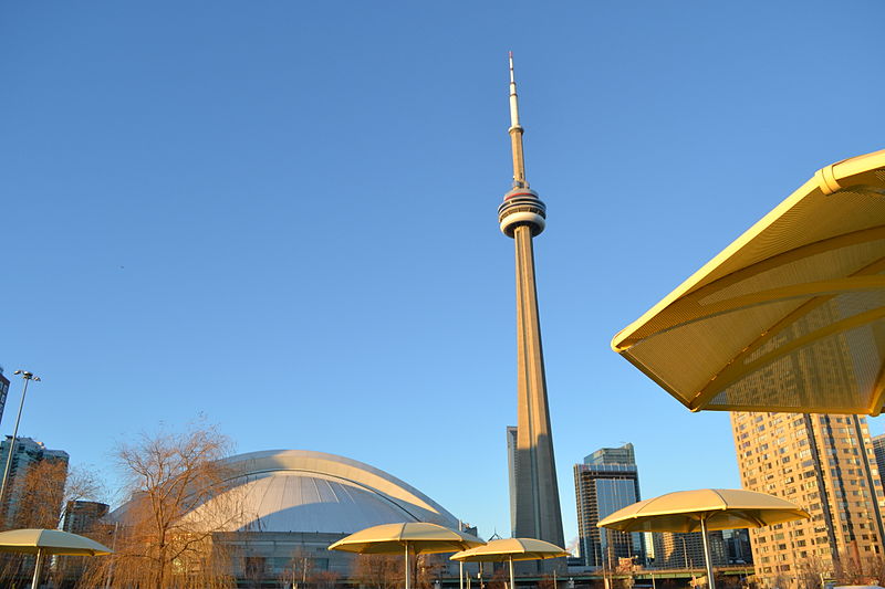
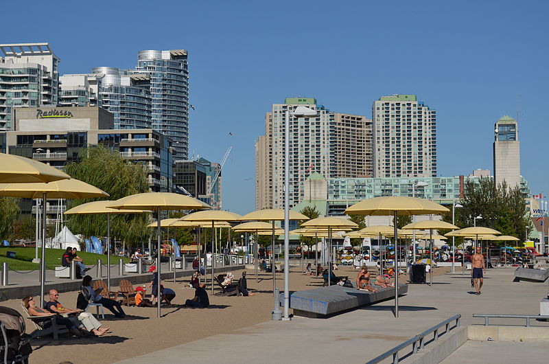
HTO Park is an urban beach in Toronto, Ontario, Canada, that opened in 2007. It is located west of Harbourfront Centre, on Lake Ontario. ()
Created: 2007Elevation: 249 ft a.s.l.Coordinates: 43°38'16"N, 79°23'17"W
Address
339 Queens Quay WDowntown Toronto (Harbourfront)Toronto M5V 1A2
Contact
+1 416-392-2489
Social media
Add
Day trips
HTO Park – popular in the area (distance from the attraction)
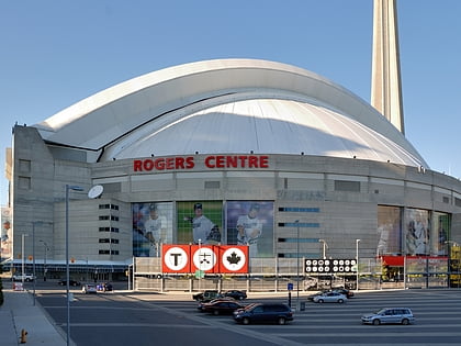
Nearby attractions include: CN Tower, Harbourfront Centre, Rogers Centre, Air Canada Centre.
Frequently Asked Questions (FAQ)
Which popular attractions are close to HTO Park?
Nearby attractions include Harbourfront, Toronto (4 min walk), Amsterdam Bridge, Toronto (5 min walk), WaveDecks, Toronto (5 min walk), Roundhouse Park, Toronto (7 min walk).
How to get to HTO Park by public transport?
The nearest stations to HTO Park:
Tram
Ferry
Bus
Train
Metro
Tram
- Rees Street • Lines: 509, 510A (3 min walk)
- Spadina Avenue/Queens Quay West • Lines: 509, 510A, 510B (5 min walk)
Ferry
- Billy Bishop Terminal • Lines: Billy Bishop Airport Ferry (15 min walk)
- Bathurst Street Terminal • Lines: Billy Bishop Airport Ferry (15 min walk)
Bus
- Harbour Street • Lines: 19 (16 min walk)
- Lake Shore Boulevard West • Lines: 19 (17 min walk)
Train
- Toronto Union Station (16 min walk)
Metro
- Union • Lines: 1 (18 min walk)
- St. Andrew • Lines: 1 (19 min walk)


 Subway
 Streetcar system
 PATH
PATH