Idylwyld Drive, Saskatoon
Map
Map

Facts and practical information
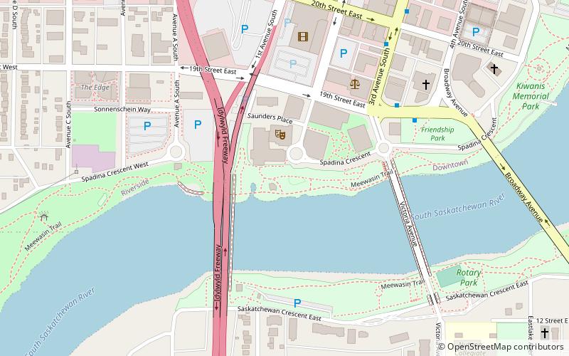
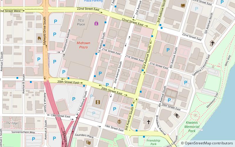
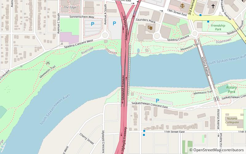
Idylwyld Drive is an arterial road in Saskatoon, Saskatchewan. It is one of the main roads in and out of the downtown area of the city. ()
Length: 5.26 miCoordinates: 52°7'16"N, 106°40'8"W
Address
North NutanaSaskatoon
ContactAdd
Social media
Add
Day trips
Idylwyld Drive – popular in the area (distance from the attraction)
Nearby attractions include: Midtown Mall, Saskatoon Farmers' Market, Broadway Bridge, Broadway Theatre.
Frequently Asked Questions (FAQ)
Which popular attractions are close to Idylwyld Drive?
Nearby attractions include Senator Sid Buckwold Bridge, Saskatoon (1 min walk), River Landing, Saskatoon (4 min walk), Remai Modern, Saskatoon (4 min walk), Remai Arts Centre, Saskatoon (5 min walk).
How to get to Idylwyld Drive by public transport?
The nearest stations to Idylwyld Drive:
Bus
Bus
- 19th Street & 3rd Avenue • Lines: 1, 6 (8 min walk)
- 20th Street & 1st Avenue • Lines: 2 (9 min walk)


