Parc Sir-Wilfrid-Laurier, Montreal
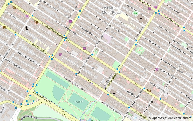
Map
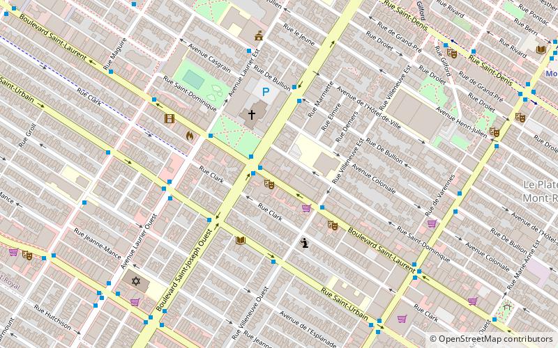
Map

Facts and practical information
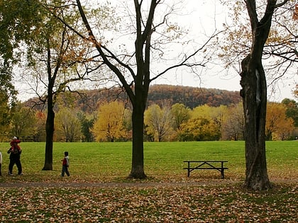
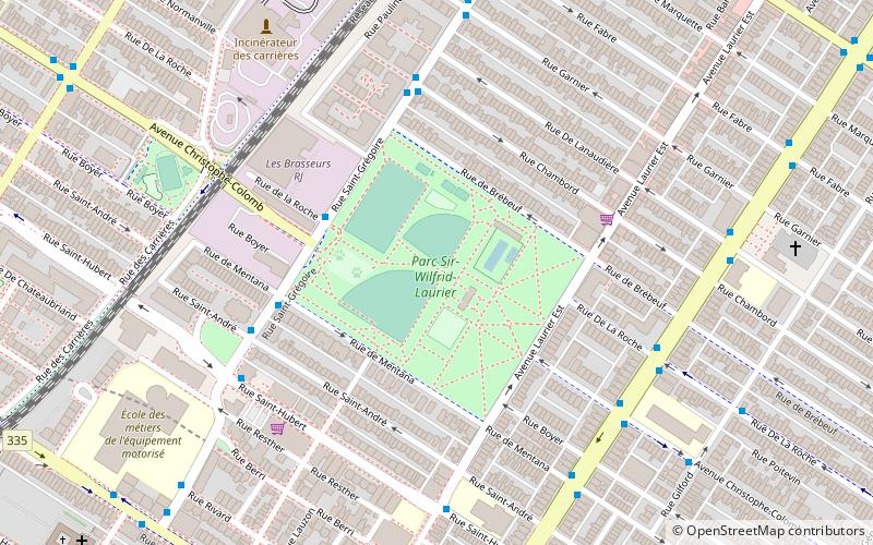
Sir Wilfrid Laurier Park is an urban park in the Le Plateau-Mont-Royal borough of Montreal, Quebec, Canada. It is bordered by Laurier Avenue East to the south, De Brébeuf Street to the east, Saint Grégoire Street to the north and De Mentana Street to the west. ()
Day trips
Parc Sir-Wilfrid-Laurier – popular in the area (distance from the attraction)
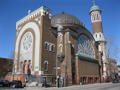
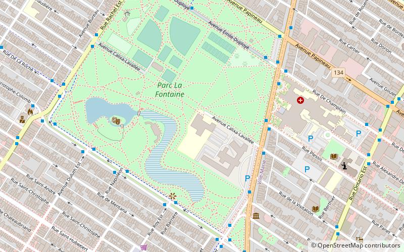
Nearby attractions include: Parc La Fontaine, La Centrale, Saint-Jean-Berchmans Church, Parc Jeanne-Mance.
Frequently Asked Questions (FAQ)
Which popular attractions are close to Parc Sir-Wilfrid-Laurier?
Nearby attractions include Laurier Avenue, Montreal (8 min walk), Saint Joseph Boulevard, Montreal (11 min walk), Art Mûr, Montreal (12 min walk), Mile End, Montreal (14 min walk).
How to get to Parc Sir-Wilfrid-Laurier by public transport?
The nearest stations to Parc Sir-Wilfrid-Laurier:
Bus
Metro
Bus
- Saint-Grégoire / De La Roche • Lines: 47-O (4 min walk)
- Saint-Grégoire / de Mentana • Lines: 47-E (4 min walk)
Metro
- Laurier • Lines: 2 (8 min walk)
- Rosemont • Lines: 2 (12 min walk)

 Metro
Metro
