Lambeth, London
Map

Map

Facts and practical information
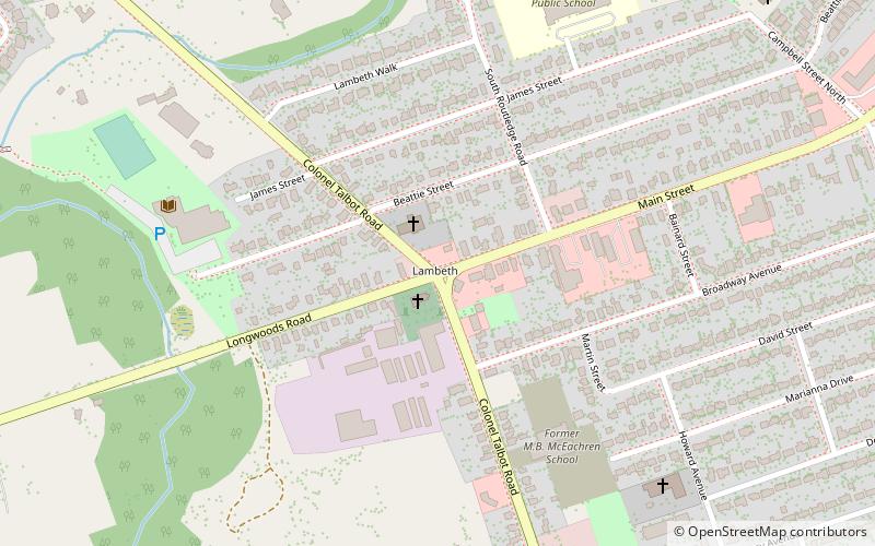
Lambeth is a neighbourhood in the City of London, Ontario, Canada. It is immediately north of Highway 402, and east of Colonel Talbot Road. Almost all of its residents live in low-density, single detached dwellings. As of 2011, the area is home to 4,410 residents. The neighbourhood is considered a middle to upper-income area, with an average family income of $129,685 an average dwelling value of $340,707 and a home ownership rate of 93%. ()
Coordinates: 42°54'35"N, 81°18'0"W
Address
LambethLondon
ContactAdd
Social media
Add
Day trips
Lambeth – popular in the area (distance from the attraction)
Nearby attractions include: London Regional Children's Museum, Budweiser Gardens, White Oaks Mall, Boler Mountain.

 Tube
Tube


