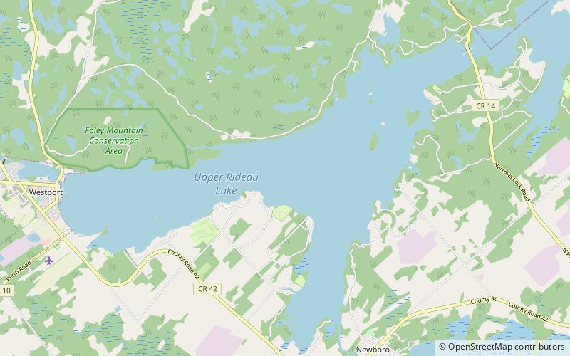
Upper Rideau Lake
Map

Map

Facts and practical information
Upper Rideau Lake is located in the municipality of Rideau Lakes, United Counties of Leeds and Grenville in Eastern Ontario, Canada. It is in the Saint Lawrence River Drainage Basin, and geographically the highest lake on the Rideau Canal System. ()
Maximum depth: 75 ftElevation: 407 ft a.s.l.Coordinates: 44°40'51"N, 76°20'23"W
Location
Ontario
ContactAdd
Social media
Add
Day trips
Upper Rideau Lake – popular in the area (distance from the attraction)
Nearby attractions include: Westport Ontario Public Library.

