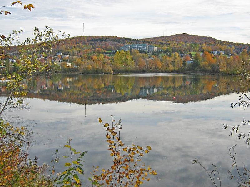
Centre de Foires de Sherbrooke, Sherbrooke

Gallery (1)
Map
Map
Facts and practical information
Centre de Foires de Sherbrooke (address: 1600 boul. du Plateau St-Joseph) is a place located in Sherbrooke (Québec province) and belongs to the category of convention center.
It is situated at an altitude of 787 feet, and its geographical coordinates are 45°25'18"N latitude and 71°57'47"W longitude.
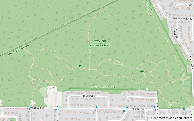
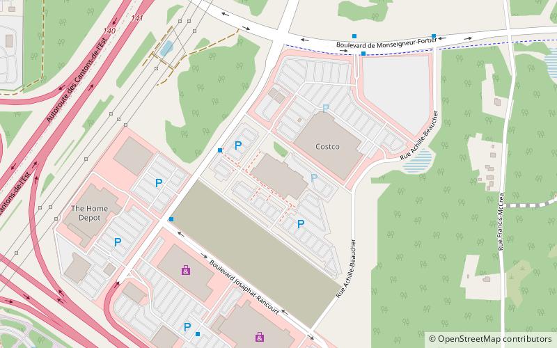
Among other places and attractions worth visiting in the area are: Jacques-Cartier (neighbourhood, 31 min walk), Carrefour de l'Estrie (shopping, 39 min walk), Beckett Woods Park (park, 45 min walk).
Coordinates: 45°25'18"N, 71°57'47"W
Day trips