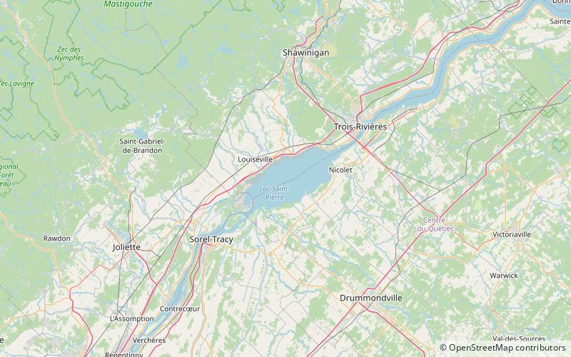
Lake Saint Pierre
Map

Map

Facts and practical information
Lake Saint Pierre is a lake in Quebec, Canada, a widening of the Saint Lawrence River between Sorel-Tracy and Trois-Rivières. It is located downstream, and northeast, of Montreal; and upstream, and southwest, of Quebec City. The end of the lake delimits the beginning of the estuary of Saint Lawrence. ()
Alternative names: Area: 136.29 mi²Length: 19.88 miWidth: 8.7 miMaximum depth: 37 ftElevation: 10 ft a.s.l.Coordinates: 46°12'15"N, 72°49'56"W
Location
Québec
ContactAdd
Social media
Add
Day trips
Lake Saint Pierre – popular in the area (distance from the attraction)
Nearby attractions include: City Hall, Yamachiche.


