Palgrave Pond

Map
Facts and practical information
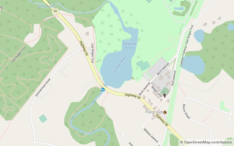
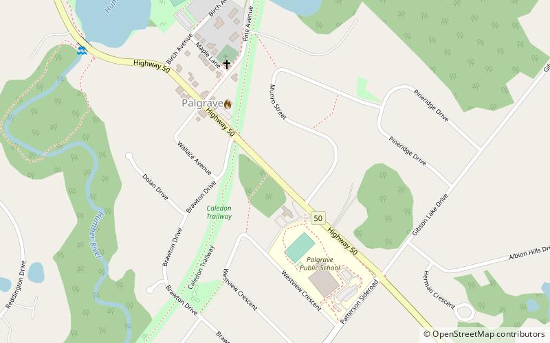
Palgrave Pond is a reservoir just northwest of the community of Palgrave in the Town of Caledon, Regional Municipality of Peel in the Greater Toronto Area of southern Ontario, Canada. It is adjacent to Ontario Highway 50 and was formed by the damming of the main branch of the Humber River, originally to create a mill pond. Each winter, the surface of the pond is transformed into a community skating rink available for recreational use. The rinks are created by local volunteer, Ken Hunt, and have appeared on the Mill Pond each winter since December 2000. ()
Area: 12.85 acres (0.0201 mi²)Length: 1378 ftWidth: 656 ftMaximum depth: 4 ftElevation: 883 ft a.s.l.Coordinates: 43°57'8"N, 79°50'20"W
Location
Ontario
ContactAdd
Social media
Add
Day trips
Palgrave Pond – popular in the area (distance from the attraction)
Nearby attractions include: Caledon Equestrian Park, Bolton, Palgrave, Tottenham.


