Lake Laurentian Conservation Area, Sudbury

Gallery (1)
Map
Map
Facts and practical information
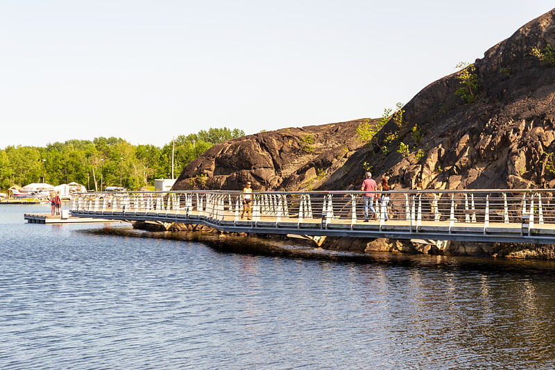
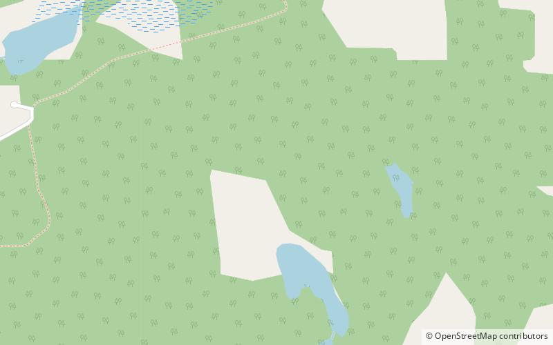
The Lake Laurentian Conservation Area is a 2,400 acres conservation area in Greater Sudbury, Ontario. Extending from the southeastern shore of Lake Ramsey to the Southeast Bypass, the park incorporates a large green space, several lakes, a self-guided nature trail, wetland areas, hiking trails, bird watching areas, and snowshoeing and cross-country ski trails in winter. ()
Elevation: 912 ft a.s.l.Coordinates: 46°27'30"N, 80°55'60"W
Address
Sudbury
ContactAdd
Social media
Add
Day trips