Twin Brooks, Edmonton
Map
Map

Facts and practical information
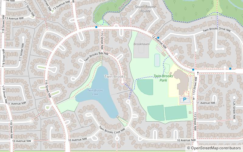
Twin Brooks is a residential neighbourhood in south Edmonton, Alberta, Canada. It is located at the confluence of the Whitemud Creek and the Blackmud Creek, hence the origin of the name Twin Brooks. An artificial lake is situated in the neighbourhood, with George P. Nicholson Elementary School located near it. ()
Area: 0.83 mi²Coordinates: 53°26'34"N, 113°31'48"W
Address
Southwest Edmonton (Twin Brooks)Edmonton
ContactAdd
Social media
Add
Day trips
Twin Brooks – popular in the area (distance from the attraction)
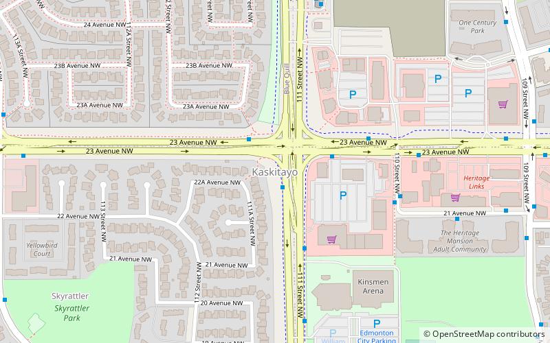
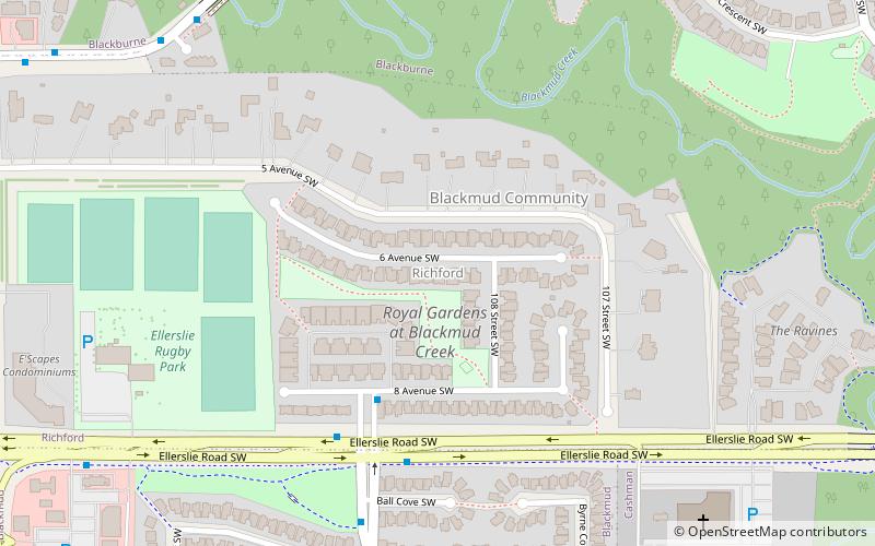
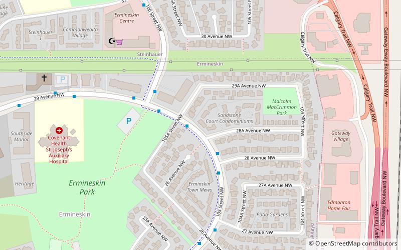
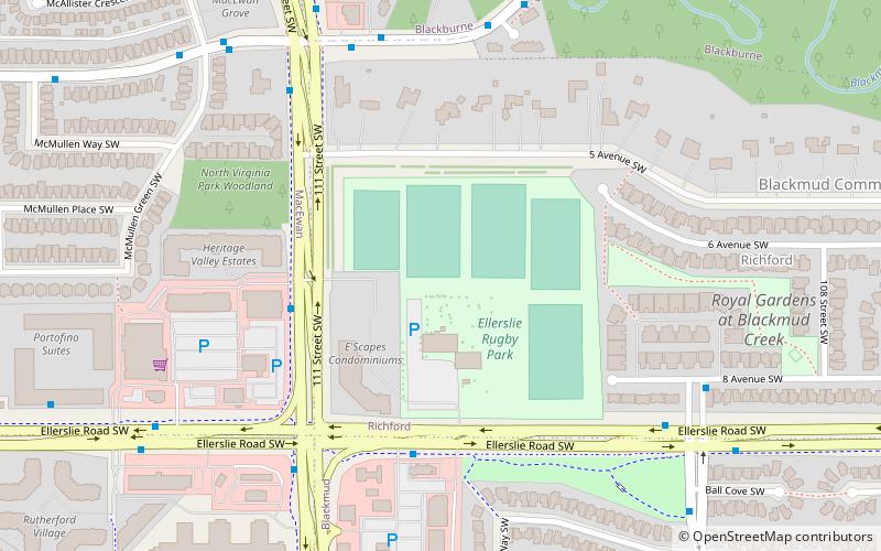
Nearby attractions include: Kaskitayo, Richford, Edmonton-Rutherford, Ellerslie Rugby Park.
Frequently Asked Questions (FAQ)
Which popular attractions are close to Twin Brooks?
Nearby attractions include Skyrattler, Edmonton (17 min walk), Kaskitayo, Edmonton (24 min walk).
How to get to Twin Brooks by public transport?
The nearest stations to Twin Brooks:
Bus
Light rail
Bus
- 4118 • Lines: 79 (26 min walk)
- Century Park Transit Centre • Lines: 17, 23, 24, 30, 347, 40, 41, 43, 44, 45, 46, 48, 49, 74, 747, 77, 78, 79 (30 min walk)
Light rail
- Century Park • Lines: 501, 502 (29 min walk)

