City of Burlington City Hall, Burlington
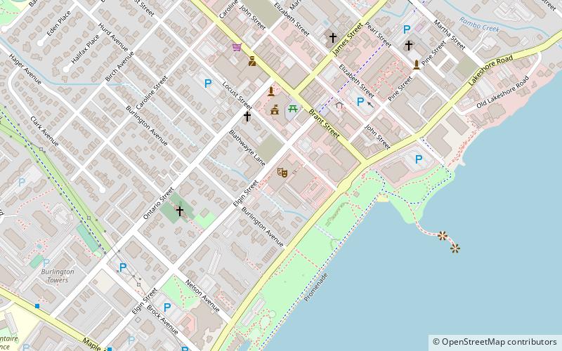
Map
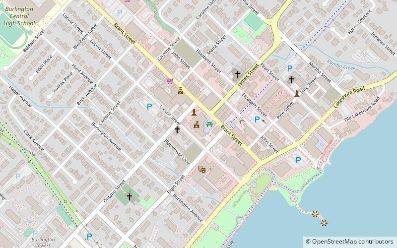
Map

Facts and practical information
Alternative names: Established: 1874 (152 years ago)City rights: 1974 (52 years ago)Area: 71.68 mi²Coordinates: 43°19'33"N, 79°47'56"W
Address
426 Brant StDowntown Burlington (Maple)Burlington L7R 2G2
Contact
+1 905-335-7777
Social media
Add
Day trips
City of Burlington City Hall – popular in the area (distance from the attraction)
Nearby attractions include: Mapleview Shopping Centre, Spencer Smith Park, Art Gallery of Burlington, Burlington Performing Arts Centre.
Frequently Asked Questions (FAQ)
Which popular attractions are close to City of Burlington City Hall?
Nearby attractions include Burlington Performing Arts Centre, Burlington (3 min walk), Haus Hair Studio Inc., Burlington (7 min walk), Spencer Smith Park, Burlington (8 min walk), Brant Street Pier, Burlington (8 min walk).
How to get to City of Burlington City Hall by public transport?
The nearest stations to City of Burlington City Hall:
Bus
Train
Bus
- Burlington Downtown Terminal (3 min walk)
- Fairview St. @ Maple Ave. • Lines: 12 (29 min walk)
Train
- Burlington (31 min walk)
