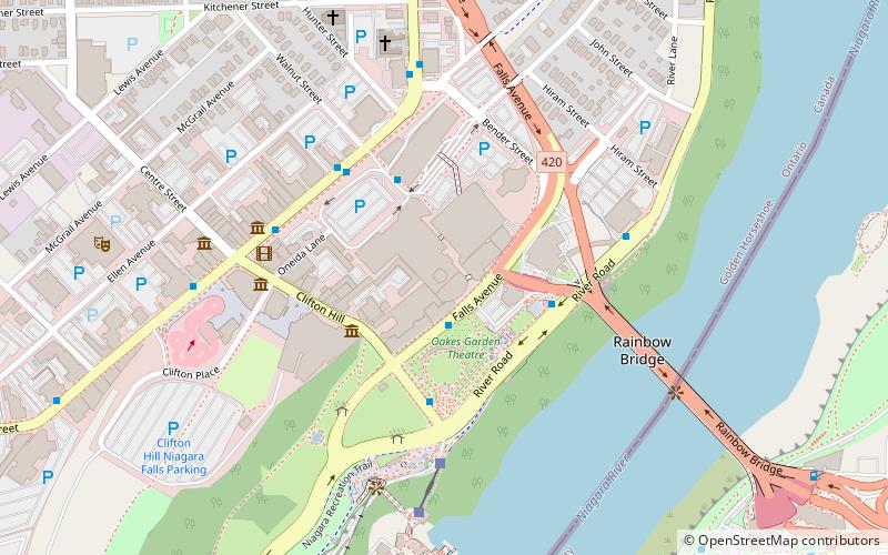
Maple Leaf Village, Niagara Falls
Facts and practical information
Maple Leaf Village: A Nostalgic Amusement Park in Niagara Falls, Canada
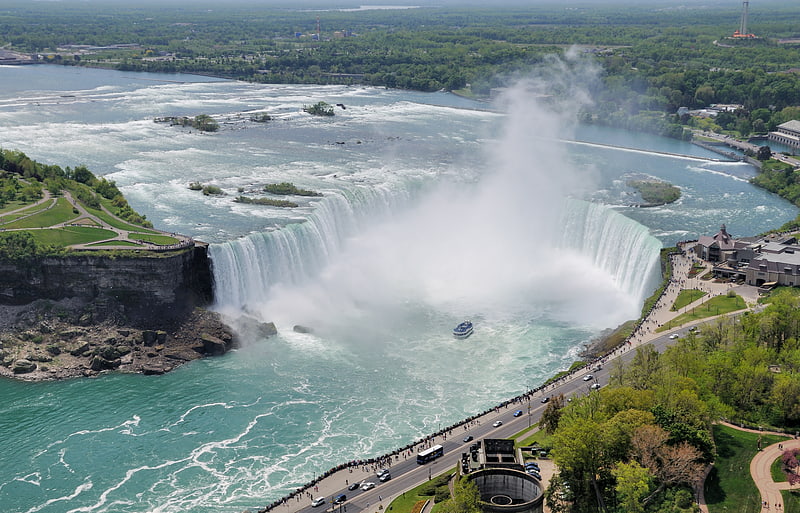
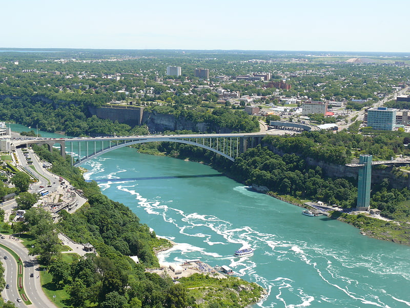
Maple Leaf Village once stood as a beloved amusement park in the bustling city of Niagara Falls, Canada. Engulfed by the city's natural beauty and the thunderous roar of the iconic waterfalls, this entertainment complex was a hub of joy and excitement for families and thrill-seekers alike.
Opened in the late 1970s, Maple Leaf Village was designed to capture the essence of Canadian culture and heritage, while providing a space filled with fun and adventure. Its strategic location, just a stone's throw from the world-famous Niagara Falls, made it an accessible and attractive destination for tourists.
The park featured a variety of attractions, ranging from classic carnival rides and games to a giant Ferris wheel, which offered panoramic views of the surrounding cityscape and the majestic falls. The Ferris wheel, in particular, became an iconic symbol of the park, often featured in photographs and postcards that tourists took home as mementos.
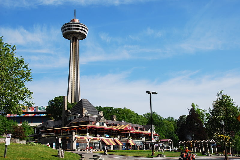
In addition to the rides, Maple Leaf Village was home to a shopping complex and a wax museum, adding to the diversity of activities available to visitors. The park's ability to blend entertainment with shopping and dining options made it a full-day destination for families looking to maximize their Niagara Falls experience.
However, as the years passed, the allure of Maple Leaf Village began to wane. Newer, more modern attractions in the area overshadowed the charm of the traditional amusement park. In the mid-1990s, the park closed its gates for the final time, leaving behind a legacy of joy and a nostalgic footprint in the hearts of those who had visited.
Queen Victoria (Clifton Hill)Niagara Falls
- Bus
 Bus
Bus
- Calculate routeStanley Ave. & Hwy 420 Park & Ride 20 min walk
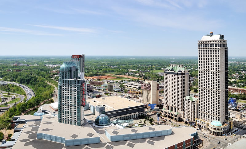
- Calculate routeFallsview Casino 22 min walk
- Calculate routeWEGO - Table Rock Centre Sration 26 min walk
- Calculate routeNiagara Falls Bus Terminal 31 min walk


Frequently Asked Questions (FAQ)
Which popular attractions are close to Maple Leaf Village?
How to get to Maple Leaf Village by public transport?
Bus
- Stanley Ave. & Hwy 420 Park & Ride • Lines: 12 (20 min walk)
- Fallsview Casino (22 min walk)