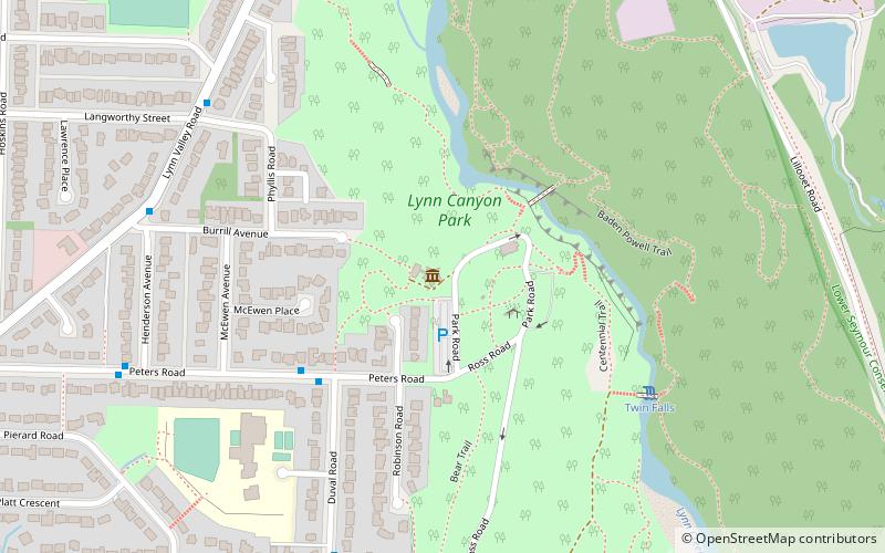
Lynn Headwaters Park, Vancouver
Facts and practical information
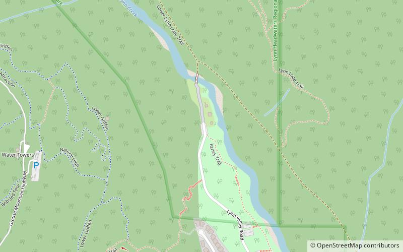
Lynn Headwaters Park (address: End of Lynn Valley Rd) is a place located in Vancouver (British Columbia province) and belongs to the category of hiking, hiking trail, park.
It is situated at an altitude of 659 feet, and its geographical coordinates are 49°21'35"N latitude and 123°1'41"W longitude.
Planning a visit to this place, one can easily and conveniently get there by public transportation. Lynn Headwaters Park is a short distance from the following public transport stations: Hoskin Rd at 4700 Block (bus, 11 min walk).
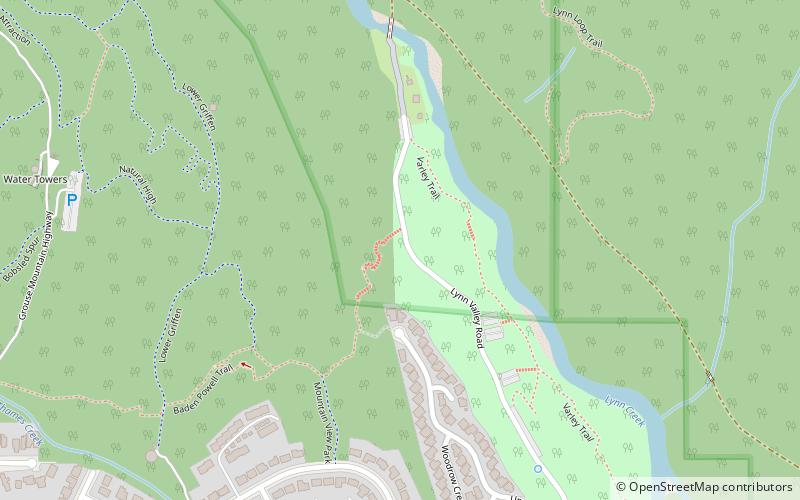
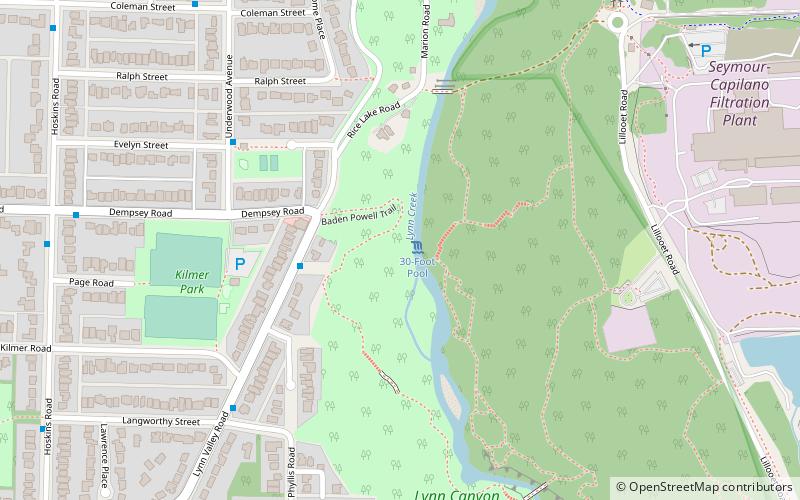
Among other places and attractions worth visiting in the area are: Baden Powell Trail (hiking, 4 min walk), Lower Seymour Conservation Reserve (hiking, 22 min walk), 30-Foot Pool (natural attraction, 24 min walk).
End of Lynn Valley RdVancouver
- Bus
 Bus
Bus
- Calculate routeHoskin Rd at 4700 Block 11 min walk
- Calculate routeHoskin Rd at Coleman St 16 min walk
- Calculate routeMcNair Dr at Tourney Rd 17 min walk
 SkyTrain
Frequently Asked Questions (FAQ)
How to get to Lynn Headwaters Park by public transport?
Bus
- Hoskin Rd at 4700 Block • Lines: 210 (11 min walk)
- Hoskin Rd at Coleman St • Lines: 210, 228 (16 min walk)