Marpole Bridge, Richmond
Map
Facts and practical information
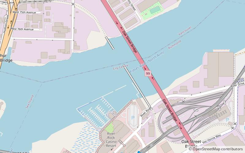
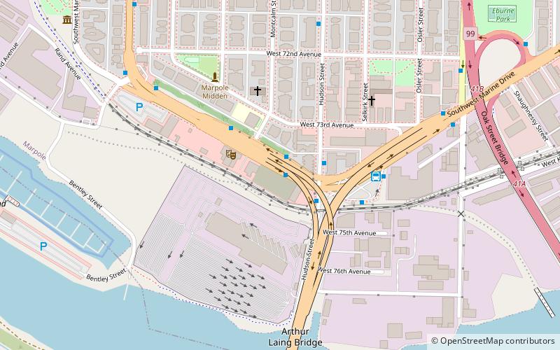
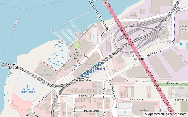
The Marpole CP Rail Bridge is a partially dismantled crossing over the north arm of the Fraser River, and River Dr. in Metro Vancouver. ()
Coordinates: 49°11'57"N, 123°7'37"W
Address
Richmond City Centre (Brideport Village)Richmond
ContactAdd
Social media
Add
Getting there by public transportation
Public transportation stops near this location
- Metro
- Bus
- Trolleybus
 Metro
Metro
- Calculate routeBridgeport Station Bay 12 7 min walk
- Calculate routeBridgeport Station Bay 11 7 min walk
- Calculate routeBridgeport Station Bay 1 7 min walk
- Calculate routeBridgeport Station Bay 10 7 min walk
- Calculate routeBridgeport 7 min walk
- Calculate routeMarine Drive 22 min walk
- Calculate routeTempleton 23 min walk
- Calculate routeAberdeen 29 min walk
- Calculate routeMarpole Loop Bay 2 10 min walk
- Calculate routeSW Marine Drive at Oak St 11 min walk
- Calculate routeOak St at West 72nd Ave 12 min walk
- Calculate routeOak Cloverleaf at SW Marine Dr 12 min walk
Day trips


Frequently Asked Questions (FAQ)
Which popular attractions are close to Marpole Bridge?
Nearby attractions include River Rock Casino Resort, Richmond (6 min walk), Oak Street Bridge, Vancouver (9 min walk), Arthur Laing Bridge, Richmond (11 min walk), Middle Arm Bridge, Richmond (12 min walk).
How to get to Marpole Bridge by public transport?
The nearest stations to Marpole Bridge:
Bus
Metro
Trolleybus
Bus
- Bridgeport Station Bay 12 • Lines: 620 (7 min walk)
- Bridgeport Station Bay 11 • Lines: 407, 430 (7 min walk)
Metro
- Bridgeport • Lines: Canada Line (7 min walk)
- Marine Drive • Lines: Canada Line (22 min walk)
Trolleybus
- Marpole Loop Bay 2 • Lines: 10 (10 min walk)
- SW Marine Drive at Oak St • Lines: 10 (11 min walk)