Ranney Hill
Map
Gallery

Facts and practical information
Ranney Hill is a rock outcrop approximately 10 kilometers north of Yellowknife, the capital city of the Northwest Territories of Canada. At 682 ft / 208 m. high, it is one of three visible outcrops that can be seen north of the city. It is an anomaly rising from the relatively flat Canadian Shield. ()
Coordinates: 62°32'47"N, 114°23'20"W
Location
Northwest Territories
ContactAdd
Social media
Add
Day trips
Ranney Hill – popular in the area (distance from the attraction)
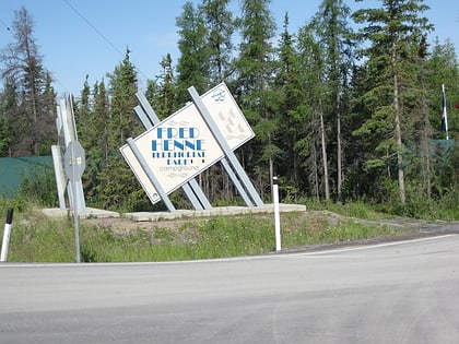
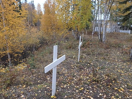
Nearby attractions include: Fred Henne Territorial Park, Back Bay Cemetery, Bank of Toronto.


