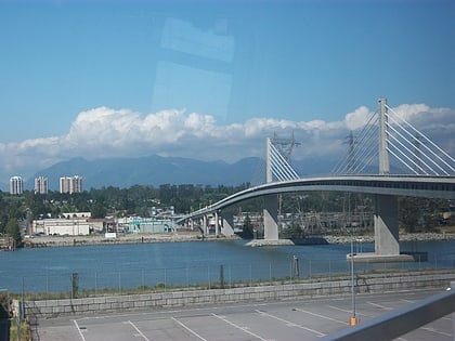
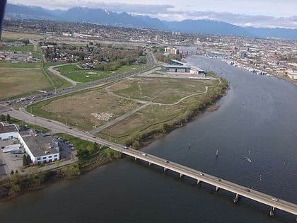
Middle Arm Bridge, Richmond
Map
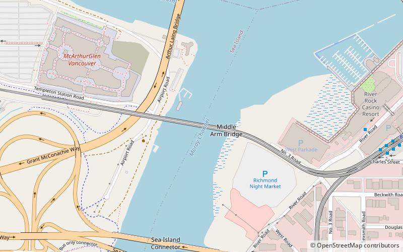
Map

Facts and practical information
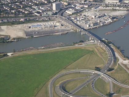
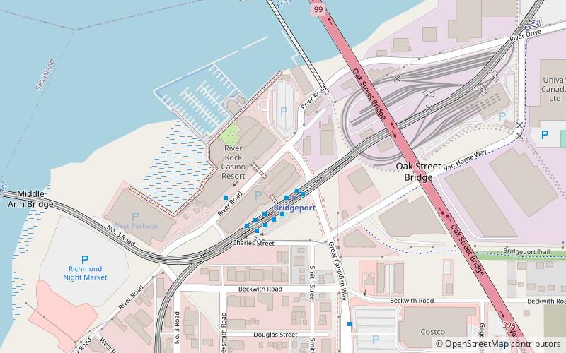
The Middle Arm Bridge is one of three transit-only bridges in Metro Vancouver. It spans the middle arm of the Fraser River, linking Lulu Island with the Vancouver International Airport on Sea Island. It is used by the airport branch of the Canada Line, which opened in August 2009. ()
Coordinates: 49°11'45"N, 123°8'6"W
Address
Richmond City Centre (Brideport Village)Richmond
ContactAdd
Social media
Add
Day trips
Middle Arm Bridge – popular in the area (distance from the attraction)
Nearby attractions include: McArthurGlen Designer Outlet Vancouver Airport, Aberdeen Centre, Parker Place, Arthur Laing Bridge.
Frequently Asked Questions (FAQ)
Which popular attractions are close to Middle Arm Bridge?
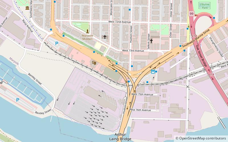
Nearby attractions include Arthur Laing Bridge, Richmond (5 min walk), Sea Island Connector, Richmond (7 min walk), Moray Bridge, Richmond (8 min walk), River Rock Casino Resort, Richmond (11 min walk).
How to get to Middle Arm Bridge by public transport?
The nearest stations to Middle Arm Bridge:
Bus
Metro
Trolleybus
Bus
- Bridgeport Rd at West Rd • Lines: 412 (8 min walk)
- Bridgeport Station Bay 7 • Lines: 601 (9 min walk)
Metro
- Bridgeport • Lines: Canada Line (11 min walk)
- Templeton • Lines: Canada Line (14 min walk)
Trolleybus
- SW Marine Dr at Hudson St • Lines: 10 (14 min walk)
- Marpole Loop Bay 4 • Lines: 10 (15 min walk)


