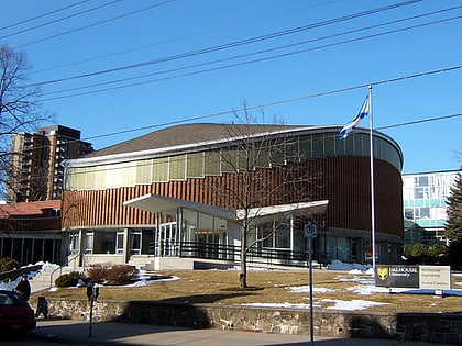
Gorsebrook Park, Halifax
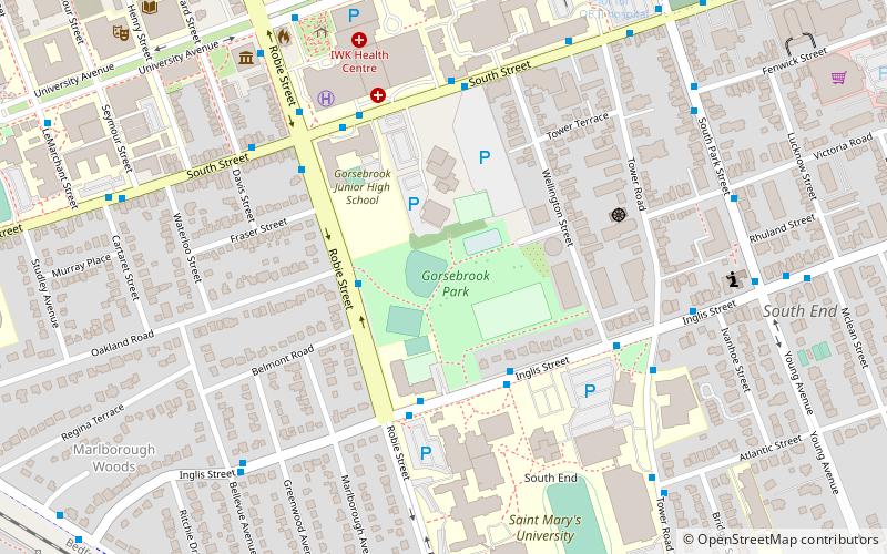
Map

Map

Facts and practical information
Gorsebrook Park is a 19-acre Canadian urban park located in the South End of Halifax, Nova Scotia. ()
Created: 1940Elevation: 82 ft a.s.l.Coordinates: 44°38'5"N, 63°34'56"W
Day trips
Gorsebrook Park – popular in the area (distance from the attraction)
Nearby attractions include: Halifax Public Gardens, Nova Scotia Museum, Old Burying Ground, Park Lane.
Frequently Asked Questions (FAQ)
Which popular attractions are close to Gorsebrook Park?
Nearby attractions include Halifax Citadel-Sable Island, Halifax (6 min walk), Nova Scotia Archives, Halifax (8 min walk), Loyola Residence Tower, Halifax (8 min walk), All Saints Cathedral, Halifax (10 min walk).
How to get to Gorsebrook Park by public transport?
The nearest stations to Gorsebrook Park:
Bus
Train
Bus
- 6960 - Inglis St Opposite SMU • Lines: 10 (3 min walk)
- 6965 - Inglis St At SMU • Lines: 10 (4 min walk)
Train
- Halifax (20 min walk)


